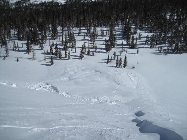
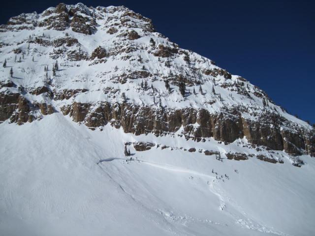
I observed this avalanche from Hwy 150 as I crested Hayden Pass looking west. It caught my attention as the morning sun was hitting it. It must have occured some time during the strong snow and wind event from this past weekend. Not a big slide as far as width and vertical, but the depth is quite eye opening. My best guess as to a trigger is a decent volume of snow cascading down from above and triggering this fairly deep pocket. It took me awhile to determine the weak layer, but I believe surface hoar was involved.
I was able to locate the mid January crust shown with the crystal card and what looked to be some broken-up surface hoar on the bed surface.
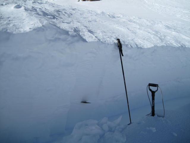
This slide is likely a very isolated occurrence, but it demonstrates the high consequence of triggering a deep and dangerous slide.
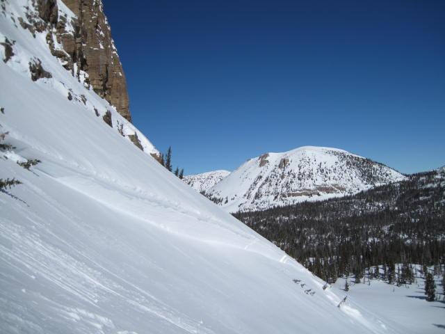
The avalanche quickly ran out-of slope angle, but could have been a nasty one to get caught up in.