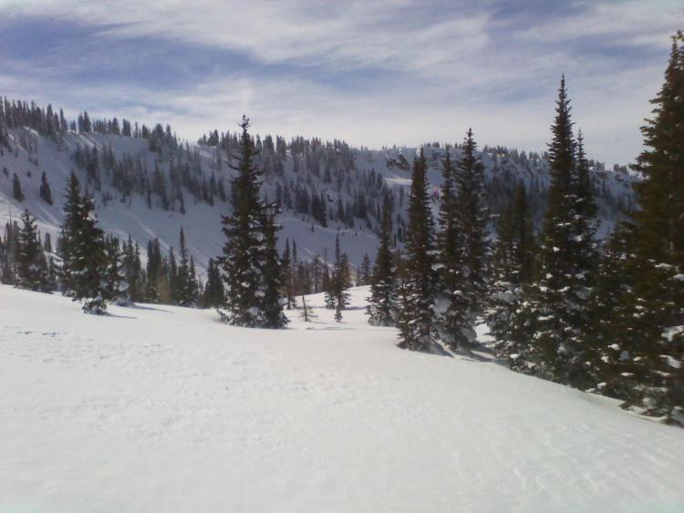
We discovered this slide while skiing the NW lines on Duke. Heavy loading during the last wind event most likely overloaded the weak layers. This crown extends far beyond the wind effected terrain and in some places appeared to be at least 5 feet deep however the majority of the crown was 1 to 2 feet in height. We also discovered a large slide just to the west of this slide down the middle of Duke. This terrain has a rollover mid slope and shallow rock below the rollover. The crown was about 300 feet wide taking out the entire bottom half of the slope. Debris reached the end of the runout zone. In total we saw three different slides on Duke. The common theme was shallow rock, steep terrain, and heavy wind loading. Sorry for the cell phone pics. When digging in sheltered terrain we consistently got the top foot of snow to fail around CT7. There was another week layer 2 feet down which consistently failed CT13. I was able to get the ice crust layer to fail CT18 and higher.


