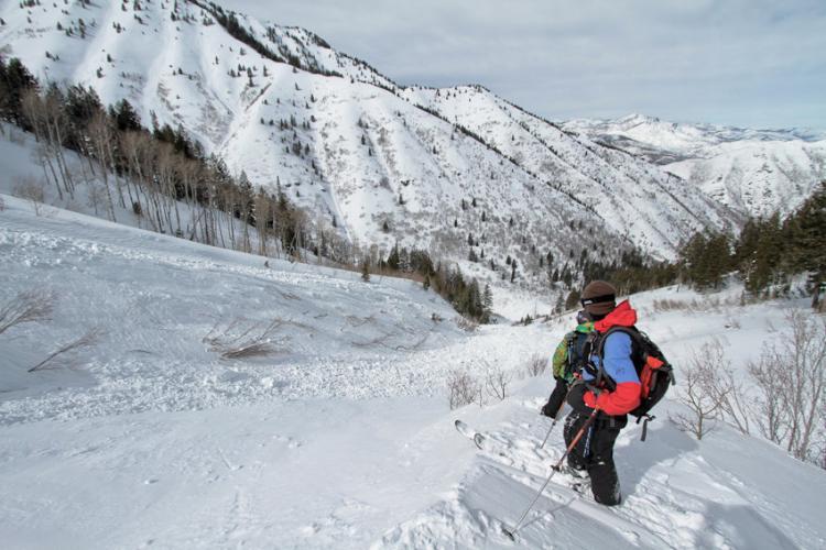
Due to lots of windloading, we'd already bailed from skiing to the summit of Cascade. While looking for sheltered trees to descend into Brunnell's Fork I began kicking cornices. I was unsurprised when a falling chunk popped out the 12" deep windslab just beneath it. The slab ran perhaps 20 vert.
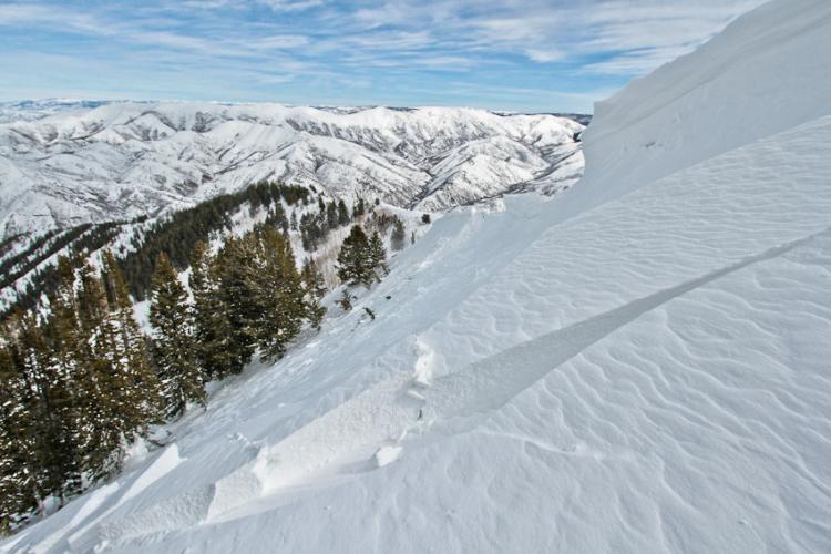
I was much more surprised when we looked around the corner and discovered that the compact, windloaded bowl on the other side of a nearby rib had also avalanched. Here the fresh windslab was 2-3' deep it had stepped down yet another 3-4' into a deeper layer. I was curious whether the weak layer where the slab had stepped down involved the MLK crust, but was unable to investigate. Inching above the crown caused disconcerting sounds as hangfire from the lower layer continued shift.
Continuing down the ridgeline, we found that the avalanche had propagated below the windlip for quite a distance. According to google earth, the crown was over 1000' wide, though most of it only ran a few feet. Map of the path here: http://goo.gl/f5A7K