

Observer Name
Glew, Harris, others
Observation Date
Monday, February 21, 2011
Avalanche Date
Sunday, February 20, 2011
Region
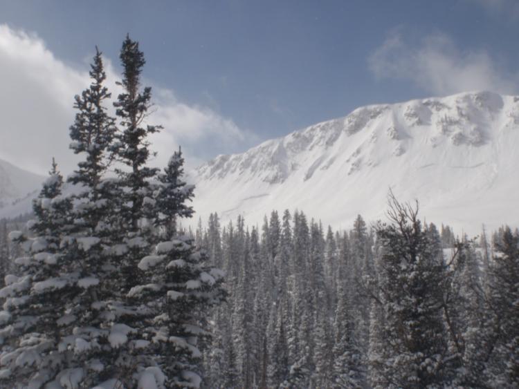
Salt Lake » Little Cottonwood Canyon » Maybird Gulch
Location Name or Route
Maybird Drainage
Elevation
Unknown
Aspect
Northeast
Slope Angle
Unknown
Trigger
Natural
Avalanche Type
Hard Slab
Depth
Unknown
Width
Unknown
Vertical
Unknown
Comments
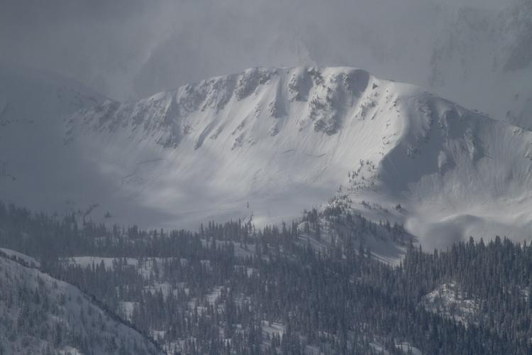
Saw two impressive naturals that seemed to have happened during the 5-9 inch storm on Sunday night, but at different times during the storm. I didn't get close to them but they were at least 5-6 feet deep at the largest part of the crown. My guess is that they failed below the MLK day rain crust on buried facets. They were two avalanches, a few hundred feet wide and 3-6 feet deep is my guess from afar. They are located below the summit Oblisque Peak, the peak between Hogum and Maybird drainage's.
Comments
photo below Jim Harris
Coordinates