Ted and I went up to work on the Windy Peak weather station and spotted a portion of the slide from across the valley. It wasn't until we got closer to the site that we realized just how big this avalanche was. The terrain isn't extreme, slope angles average 35 degrees, though there is a 37 degree mid slope breakover. The scary deal here is the slide pulled snow out along a low angle ridge which only measured 22 degrees in slope angle. In addition to this large avalanche, you can see another pocket in the foreground which broke sympathetically. This is a perfect example of just how tricky surface hoar is once buried in our snowpack.
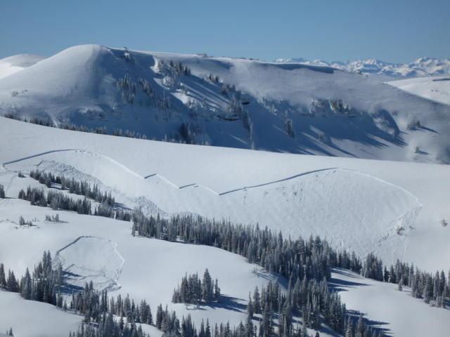
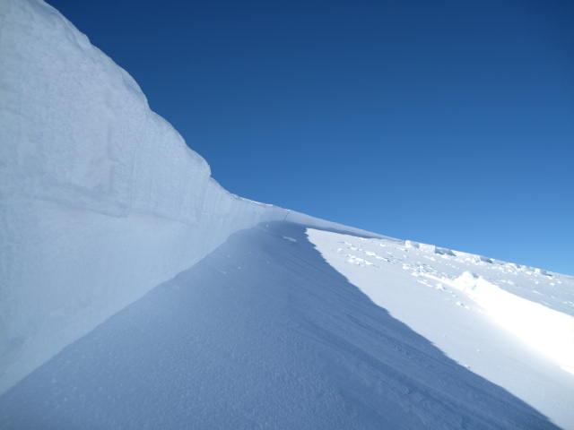
Since this slide wasn't reported to us and no tracks entered or exited the debris, we can only speculate the avalanche was remotely triggered. Occurring on an East-Northeast facing aspect at about 10,200' the avalanche broke on preserved surface hoar. The crown face measured 2.5'-4' deep and was about 600' wide, but due to a terrain trap only ran 200' vertically into a terrain trap.
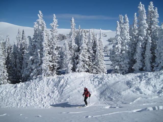
Craig standing by the toe of the debris which piled up over 10' deep in a gully next to these trees.
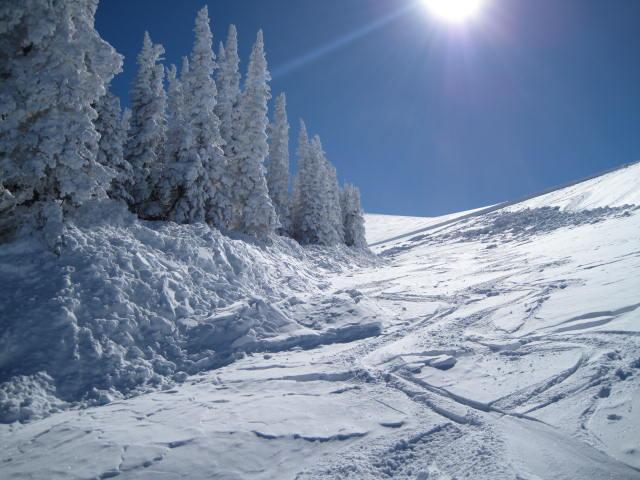
If you were near these trees watching your partner climb the slope, you'd have no place to run. Avalanches triggered on surface hoar are particularly tricky because they break very wide and can connect to low angle slopes we think are safe.