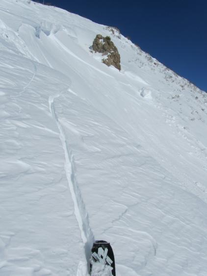
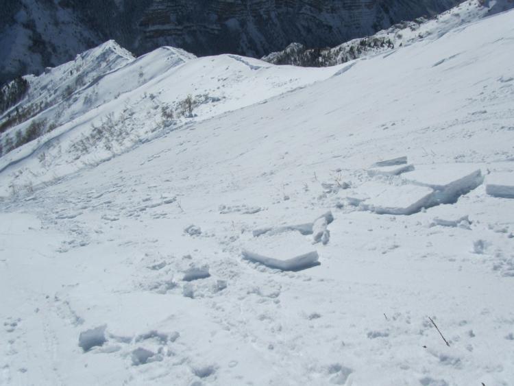
While on my way to investigate a larger slide that occurred on Dec 29 in the Arrowhead slide path just east of Sundance I found another pocket of wind blown hard slab from our last storm. A carefully placed jump at the top of the cornice fractured and propagated 50' wide 4"-12" deep. It traveled 500' vertical before stopping mid track in some older debris from the 29th. I was not able to find any facets at the bed surface, just a change in density.
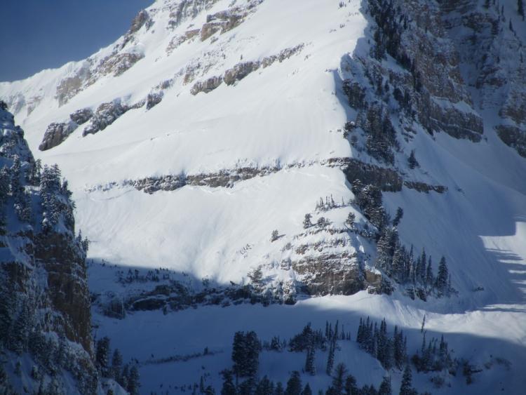
Looking further down the ridge in the photo you can see the crown from the 29th. That slide was approximately 800' wide and 2'-3' deep traveling 2000'vert. While I was also not able to find any type of facets at the interface, I suspect that the weak layer here was the old snow surface of small 1-2mm NSF that formed just after Christmas. There was a very widespread cycle in the Southern Wasatch that fits the pattern of S-E-N aspects mostly a few hundred feet below the ridgelines, SS-R4,D3+-I.
This is the East Ridge of Timp at 9400'. This one traveled about 2800' vert ending below Stewart's Falls.