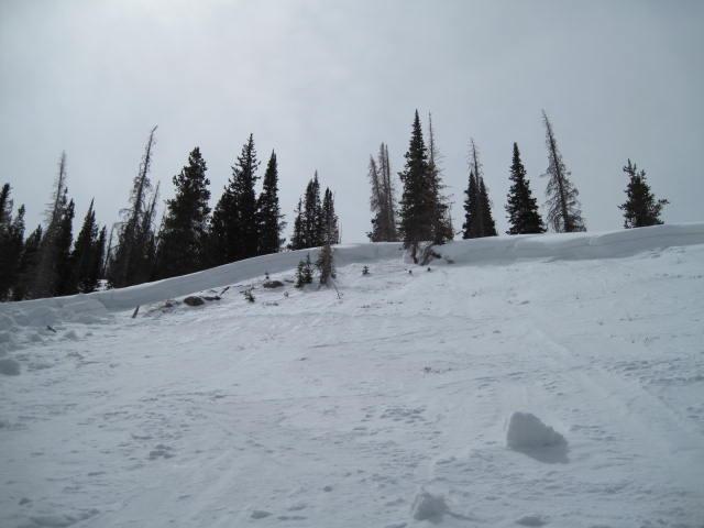
I included three separate avalanches all of which occurred in the same general vicinity. These likely happened during last weeks big storm which quickly overloaded an already very thin and weak snow pack on the east side of the north slope. A couple of these slides were tree snapping avalanches and all three released on facets at the ground. The first photo is a natural avalanche that is 300' wide, over 500' vertical and the crown is approximately 3' deep and the slope is on a northwest aspect at 10,000'.
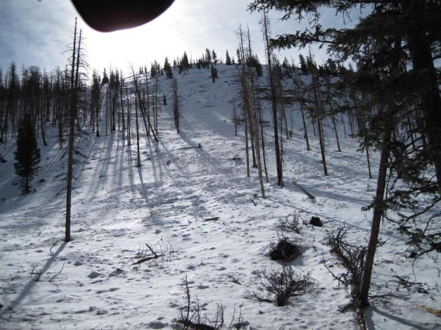
This slide started up along the ridge line as a dry hard slab avalanche and as it descended it gouged down into weak damp snow creating a very long running and tree snapping avalanche. It failed on weak facets at the ground, it started on a 37 degree slope, was 100' wide and traveled over 1,000' vertical on a north aspect.
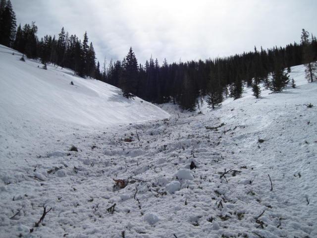
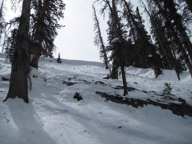
Steep thin and rocky terrain is common in all of these slides.
This smaller slide was 100' wide, three feet deep and traveled about 300' vertical. It also measured in the 36-37 degree slope angle and released on a steep thin rocky break over.