

Observer Name
Jeremy Jensen
Observation Date
Sunday, February 14, 2010
Avalanche Date
Saturday, February 13, 2010
Region
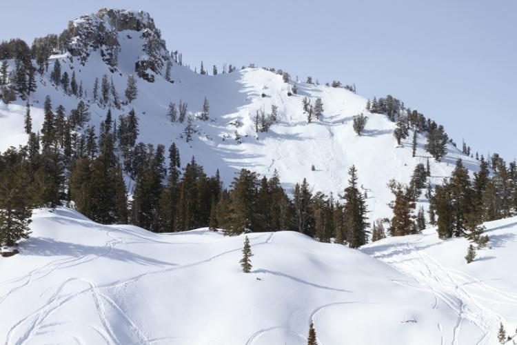
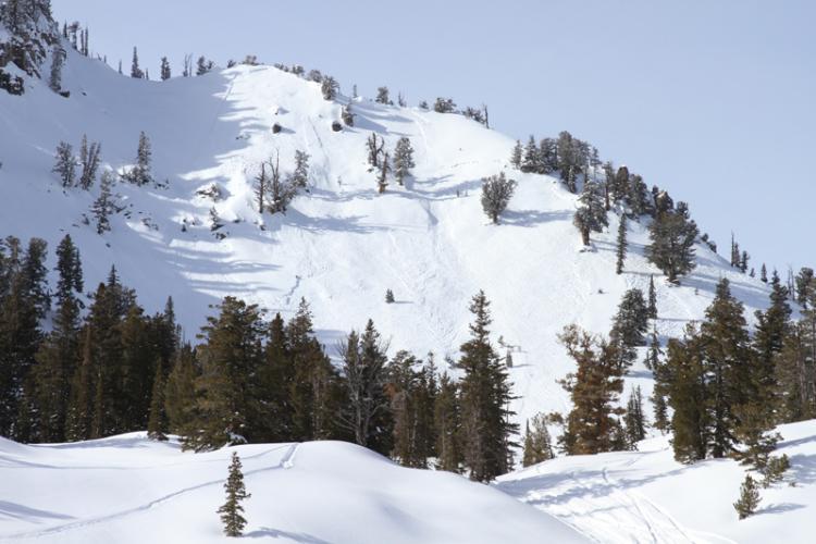
Logan » Logan River » Tony Grove » Mt. Magog
Location Name or Route
Magog Peak
Elevation
9,600'
Aspect
East
Slope Angle
37°
Trigger
Unknown
Trigger: additional info
Sympathetic Release
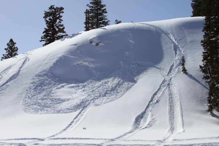
Avalanche Type
Soft Slab
Weak Layer
New Snow/Old Snow Interface
Depth
12"
Width
Unknown
Vertical
Unknown
Comments
East face of Magog. I am guessing it slid before or during the storm on 2-13-10. At least 300 ft wide soft slab at arou
Comments
Near Magog/White Pine Trail I noticed this small snowmobile triggered slide from 2-13-10. 10"-12" deep and slightly filled back in by wind and snowfall.
Coordinates