

Observer Name
Brown
Observation Date
Saturday, March 2, 2013
Avalanche Date
Saturday, March 2, 2013
Region
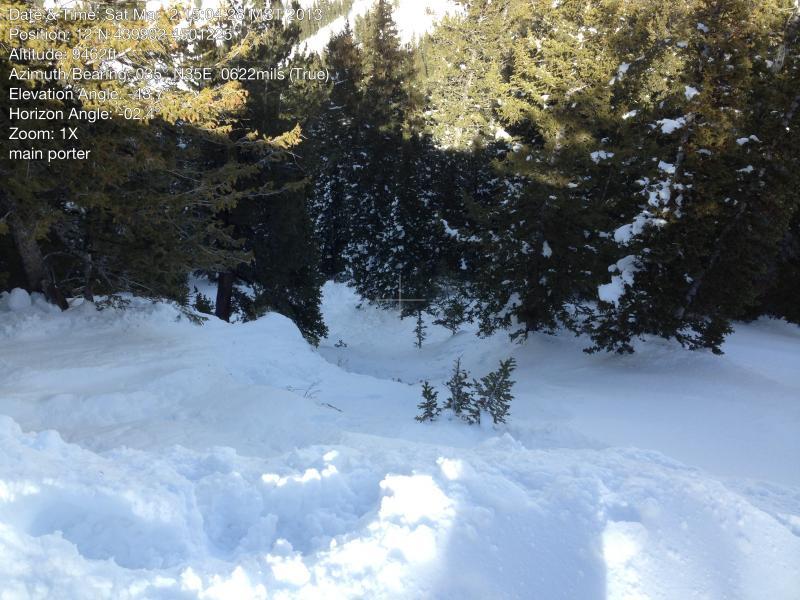
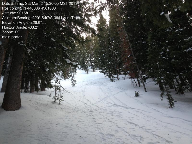
Salt Lake » Mill Creek Canyon » Porter Fork » Main Porter
Location Name or Route
Main Porter Fork
Elevation
9,400'
Aspect
Northeast
Slope Angle
40°
Trigger
Snowboarder
Trigger: additional info
Cornice Triggered
Avalanche Type
Hard Slab
Avalanche Problem
Wind Drifted Snow
Weak Layer
Facets
Depth
2'
Width
30'
Vertical
300'
Comments
With the intention of keeping our terrrian within the mid elevation Northeast to Northwest in search of more stable snow that had not seen sun or greenhouse effects we chose Main Porter Fork. Conditions on the skin track were fine in the shade, but upon hitting anything in the sun the snow was wet and very sticky. We did notice a light melt freeze crust in the trees below about 8000 feet presumably from greenhousing. The mid elevation snow on the north side of the compass seemed great. After gaining the ridge and seeing pretty significant cornices we decided to cut one to check stability. We were the only party on the skin track up to that point and felt comfortable that no one would be approaching in the area below. Unable to get anything sizeable to drop from the first cornice without exposing ourselves, we moved on to another more overhanging cornice up the ridge. Of note with the first cornice, we did remark that the snow surface the smaller chunks landed on did not seem too deep, perhaps a wind slab with some new snow on top.
The second cornice provided a definative result. Upon dislodging a chunk in the 300-400 lb. range the slope below avalanched. The avalanche was interesting in a couple ways. It was obviously a slope that had been wind loaded, and the intitial fracture looked to be a thick wind slab 1-2.5 feet. As the slide ran, it looked to dig into the older snow (facets) exposing logs and rocks. My best guess is that this slope has slid earlier this season leaving a thinner snowpack and well developed facets that the new snow was on top of, but due to hangfire I was not comfortable getting onto the bed surface. I was able to get close to the toe of the slide, but have already seen what the slope was capable of, it didn't feel the need to explore too much. The debrie pile was spread out over a 28-29 degree slope about 1-3 ft deep. Overall the slide was small and probably would not fully bury a person, but the energy and terrain could most certaintly cause severe trauma.
This was a slope that we were comfortable skiing today before the slide and had in fact sought out due to its elevation and aspect. I feel that there is a decent chance that if we just dropped the slope we would not have gotten it to slide under the weight of a person. For myself and my partners today, this is a great learing experience. By the forecast alone this slope would have fallen into the low category today. Upon looking at the more sublte signs before going for the center punch we were able to discover a more complex situtation. The January facets have not gone anywhere, the slope we were looking at had signs of wind loading (obvious from the cornice above, but not on the slope proper). Ultimately this is a tough situtatation to call.
Video
Coordinates