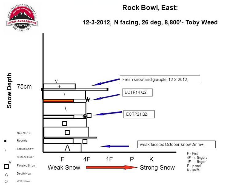
Here's a profile from yesterday an a similar slope a mile or so to the south....
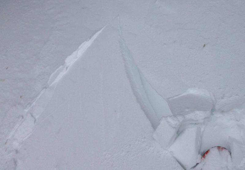
A member of my party intentionally triggered this wind slab avalanche by stomping on drifts along the South Ridge of Mt. Magog. We were quite certain that no other parties were in the area, and decided that the slope below us would be a good indicator of stability... The avalanche released remotely several feet below the skier as he worked his way up the drift... The avalanche ran on a thin weak layer, the 12-2 interface, a density change with graupel, stellars, and perhaps some very small square faceted grains...
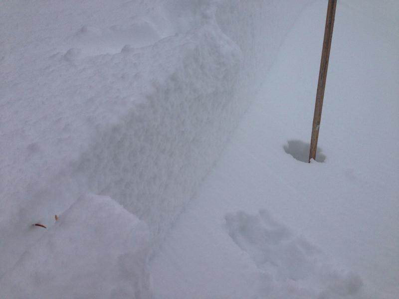
The 40 foot wide avalanche was a foot or two deep at the crown, but the flanks quickly tapered to a several inches down slope. We could not tell how far this avalanche ran, out of our view in poor visibility.
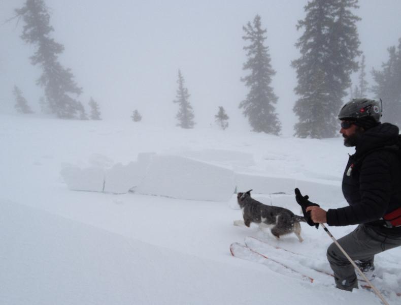
We triggered localized cracking in drifted terrain several time on our travels in the area.
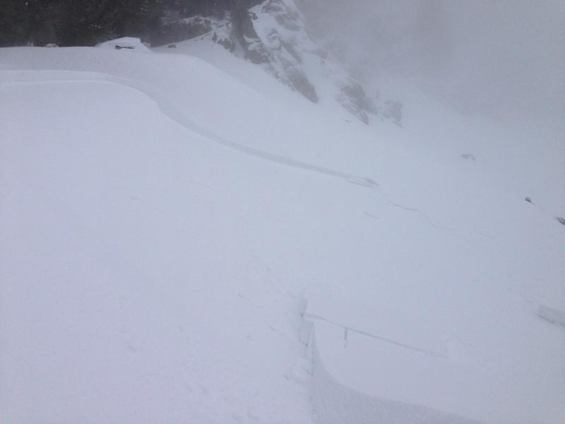

We were a bit surprised by the depth of the crown. These chunks didn't go very far downhill, but most of the debris kept going down the steep east face of Mt Magog, over a cliff band and out of view in the clouds below us...