UDOT PLANNED AVALANCHE CLOSURES!!

Forecast for the Uintas Area Mountains

Craig Gordon
Issued by Craig Gordon for
Thursday, December 21, 2017

In mid and upper elevations, at and above treeline, a MODERATE avalanche danger exists. Human triggered avalanches are possible, especially on steep, wind drifted slopes, and particularly on slopes facing the north half of the compass.

South facing terrain, at mid and lower elevations and slopes that had no old snow prior to yesterday's storm offer LOW avalanche danger.

Low
Moderate
Considerable
High
Extreme
Learn how to read the forecast here
Weather and Snow

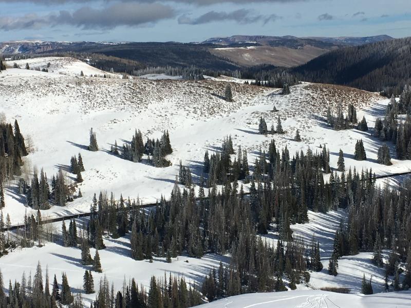
Light snow is still falling as the last gasp of yesterday's storm is pushing through the region. This was a North Slope kinda storm with 6" of ultra-light density snow stacking up and about 1/2 that amount from Mirror Lake Highway southward. North and northeast winds could spoil the powder party at the upper elevations where they're blowing to near 30 mph. Temperatures are in the teens and single digits. Riding and turning conditions vastly improved with this fresh coat of white paint, but overall snow depths remain pretty lean, averaging just 18"-24" across the range.


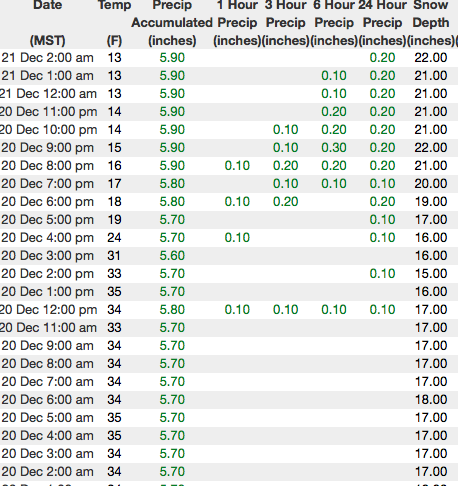
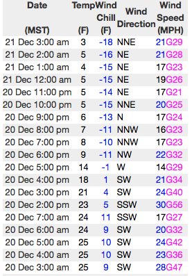
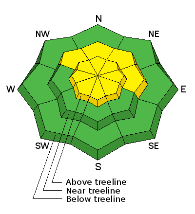
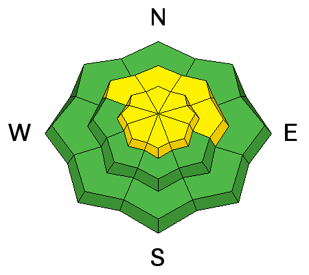
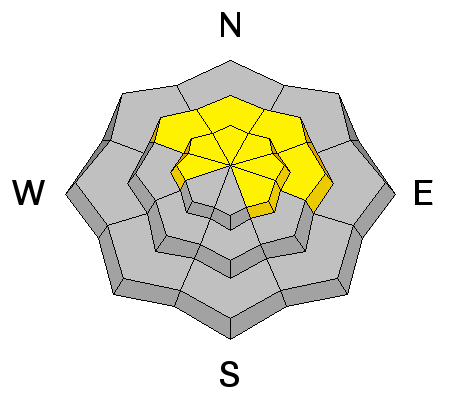
Above are 24 hour temperatures and snow depth from Chalk Creek along with winds and temperatures from Windy Peak. More remote Uinta weather stations are found here

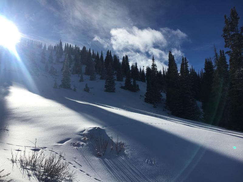
Sure it's been a lean winter so far. But if it ain't gonna snow, this weeks sunny skies and shallow, loud powder were any easy replacement.


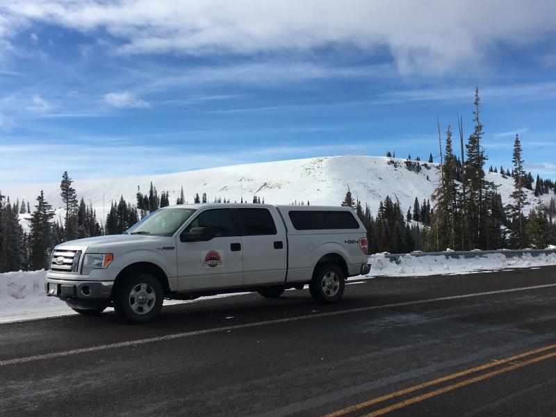
With it's easy access, Wolf Creek Pass is a seamless pre or post work grab. However... just 'cause you can see your rig from the ridge, doesn't mean the snowpack is good to go or shares your same level of stoke.

Lots of great trip reports this week are found here.

Recent Avalanches


No recent avalanche activity to report. Ted did find this old pocket near Gold Hill yesterday and commented that slopes which avalanched earlier this season are quite shallow and weak. While yesterday's storm didn't push us over the edge, these are the types of slopes that could easily come back to life with additional snow, water, and wind. (Scroggin photo)

Ad
Avalanche Problem #1
Wind Drifted Snow
Type
Location
Likelihood
Size
Description

Winds are always the great equalizer on the eastern front and yesterday was no differant. Even without any fresh snow to work with, stout wind slabs were forming on upper elevation slopes, particularly those facing the north half of the compass. The bad news... these will be hard to detect because now they're covered over with fresh snow. Clues to unstable snow include shooting cranks and whoomphing sounds or collapses of the snowpack. The bummer with a shallow snowpack and low tide conditions is, triggering even a small slide greatly increases your chances of slamming into a season ending rock or stump.

The good news... your exit strategy is simple and you can still have a blast today by avoiding steep, shady terrain facing the north half of the compass. South facing slopes like the one pictured above with little or no old snow are gonna be the ticket.

Avalanche Problem #2
Persistent Weak Layer
Type
Location
Likelihood
Size
Description

Here's where it gets tricky. We've got a complex snowpack with a myriad of crusts and weak, sugary snow sandwiched in between. While yesterday's storm lacked water weight, I still don't entirely trust our snowpack structure and I'm not gonna hang it out for a few fresh powder shots. As a matter of fact, this layering is the kind of combination when I see the vast majority of close calls and near misses in the western Uinta's. Persistent weaknesses in the snowpack complicate the avalanche stability picture because this structure allows you to get well out onto the slope before it fails. Once initiated, an avalanche triggered today could quickly get of hand as it breaks to weaker snow near the ground. Remember- there are plenty of sunny slopes you can ride throughout the range where you don't even have to deal with this issue.

The snowpit above clearly illustrates the complex snow structure on shady, north facing slopes.

Additional Information

Light snow lingers through the morning, but tapers off by early afternoon. high temperatures barely reach into the upper teens and overnight lows under clearing skies crash to near zero. Northerly winds blow in the 20's and 30's along the high ridges. A northwest flow sets up Friday and we should see a few scattered snow showers for Friday night through midday Saturday.

General Announcements

The information in this advisory expires 24 hours after the date and time posted, but will be updated by 7:00 AM Saturday December 22, 2017.

If you're getting out and about, please let me know what you're seeing especially if you see or trigger and avalanche. I can be reached at [email protected] or 801-231-2170

It's also a good time to set up one of our very popular avalanche awareness classes. Reach out to me and I'll make it happen.

This information does not apply to developed ski areas or highways where avalanche control is normally done. This advisory is from the U.S.D.A. Forest Service, which is solely responsible for its content. This advisory describes general avalanche conditions and local variations always occur.