Forecast for the Uintas Area Mountains
Sunday, December 10, 2017
In general the avalanche danger is LOW and human triggered slides are unlikely.
Please join me 6:30 Monday night at Treasure Mountain Middle School in Park City, to discuss the state... of the state... of the snowpack
No change from yesterday at this time. Skies are clear with temperatures in the upper 20's... a couple degrees warmer than in the City of Salt this morning. Northerly winds are calm at the trailheads, but a nuisance along the high ridges, blowing 20-30 mph. It's been a week since our last storm and total snow depths are still in the infant stage with only 18"-24". Getting around the range is slow and travel limited to road rides and grassy meadows.
Above are 24 hour temperatures and snow depth from Trial Lake. We're experiencing a communication issue with some of our wind sites and hope to have those back online soon
Road rides and rock free, grassy meadows are the only game in town.
No recent avalanche activity to report.
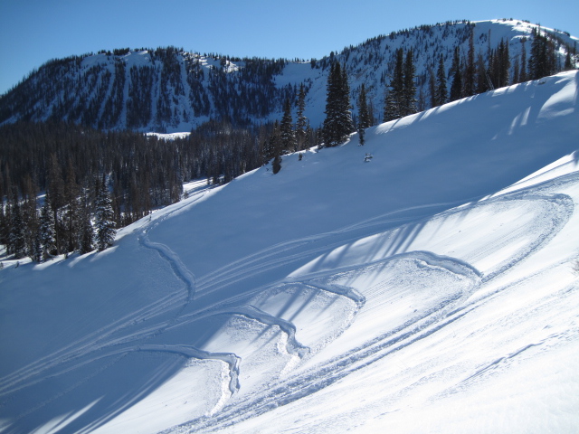
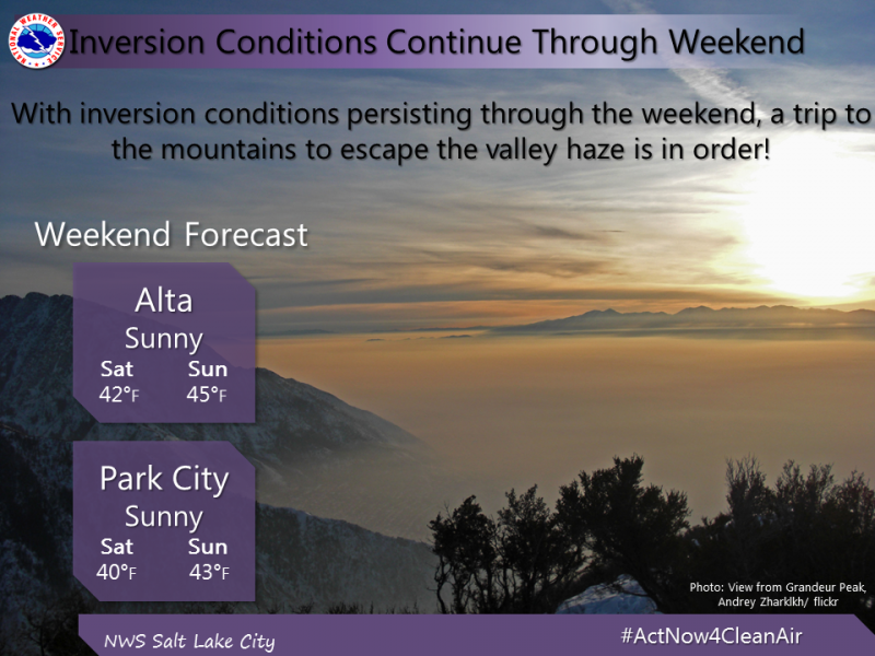
The snowpack, or lack thereof, is comfortable in its own skin. Other than a shallow drift or two along the leeward side of the highest ridges, you'd be pretty hard pressed to trigger an avalanche today and the avalanche danger is generally LOW. As a matter of fact, the chances of slamming into a season enidng rock or stump are greater than triggering a slide.
Looking into the future- there's some junk in our snowpacks trunk and upper elevation, shady slopes facing the north half of the compass have a house of cards snow structure. Eventually winter will return from it's hiatus and things will get tricky. Take advantage of the beautiful weather, get out and about and look at the snow layering to see what we'll be riding on once it does start snowing.
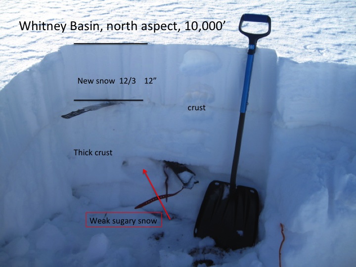
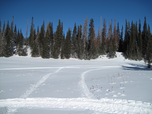
Ted was in Whitney Basin this week and found a snowpack that, while stable right now, is gonna give us heartburn in the future.
Ridging builds this weekend, bringing light winds and sunny skies with temperatures warming into the 40's. Pretty much the same story for the beginning of the week. There's a weak brush-by slated to slide through the region on Thursday that should cool temperatures a few degrees and help clean out the valley gunk. Unfortunately, no big game changing storms in the foreseeable future.
The information in this advisory expires 24 hours after the date and time posted, I'll up date this advisory by 7:00 AM Wednesday December 13, 2017.
If you're getting out and about, please let me know what you're seeing especially if you see or trigger and avalanche. I can be reached at [email protected] or 801-231-2170
It's also a good time to set up one of our very popular avalanche awareness classes. Reach out to me and I'll make it happen.
This information does not apply to developed ski areas or highways where avalanche control is normally done. This advisory is from the U.S.D.A. Forest Service, which is solely responsible for its content. This advisory describes general avalanche conditions and local variations always occur.