Forecast for the Uintas Area Mountains

Craig Gordon
Issued by Craig Gordon for
Thursday, November 30, 2017

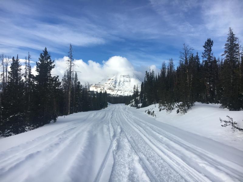
In general the avalanche danger is LOW and the chances of slamming into a season ending rock or stump are greater than triggering an avalanche.
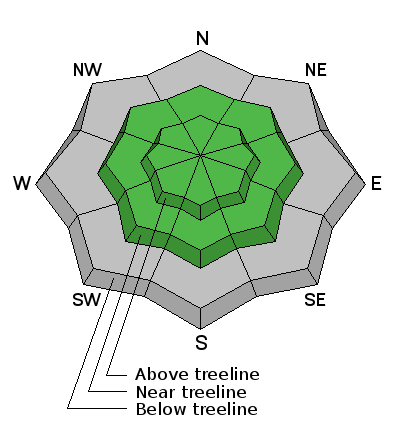
Low
Moderate
Considerable
High
Extreme
Learn how to read the forecast here
Special Announcements

With no storms in sight, this advisory is valid through midnight Friday Dec. 1st and will be updated early Saturday with a weekend forecast..

Weather and Snow

High pressure dominates our weather pattern, though temperatures have cooled somewhat in the past few days and hover in the low 20's.


Above are 24 hour temperatures and snow depth from Trial Lake and winds from Windy Peak

With only two feet of snow on the North half of the range and about 1/2 that amount south of Bald Mountain Pass, road rides and low angle grassy slopes are the only game in town.

Recent Avalanches

No recent avalanche activity to report.

Ad
Avalanche Problem #1
Normal Caution
Type
Location
Likelihood
Size
Description

The avalanche conditions are pretty straight-forward and in general the snowpack has adjusted to the big and only, mid November storm. Unfortunately, with no big change in the weather pattern our snowpack structure will deteriorate and that's bad news once it does start snowing. In the mean time, getting out and about and taking a look around might not be a bad call. Making note of what slopes have snow and what that snow strucuture looks and feels like will help you determine which slopes are good to go and which slopes you need to avoid. once winter returns from its hiatus.

Additional Information


The graphic above pretty much sums up the November that wasn't.

A dry and somewhat warmer westerly flow will be over the area today. Another weak system brings clouds, slightly cooler temperatures and a little more wind as it passes to the north tonight into Friday, but no precipitation. Clearing Friday afternoon. Warmer Saturday with increasing southwest winds and high clouds. Colder with a chance of accumulating snow Sunday afternoon into Monday morning. Dry northerly flow with a gradual warming trend for the rest of next week.

General Announcements

I'll be issuing regularly scheduled advisories once the snow starts flying in earnest. In the meantime, if you're getting out and about, please let me know what you're seeing especially if you see or trigger and avalanche. I can be reached at [email protected] or 801-231-2170

It's also a good time to set up one of our very popular avalanche awareness classes. Reach out to me and I'll make it happen.

This information does not apply to developed ski areas or highways where avalanche control is normally done. This advisory is from the U.S.D.A. Forest Service, which is solely responsible for its content. This advisory describes general avalanche conditions and local variations always occur.