Forecast for the Uintas Area Mountains

Craig Gordon
Issued by Craig Gordon for
Saturday, November 26, 2016

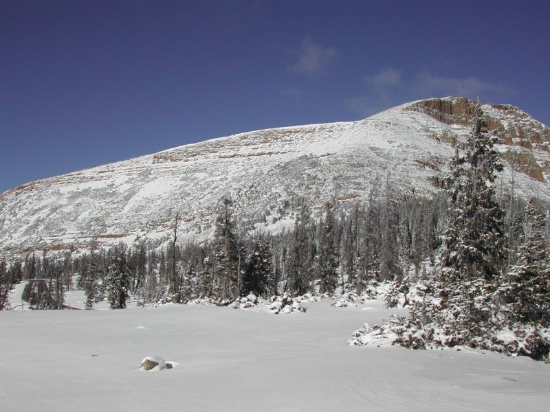
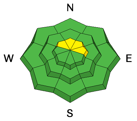
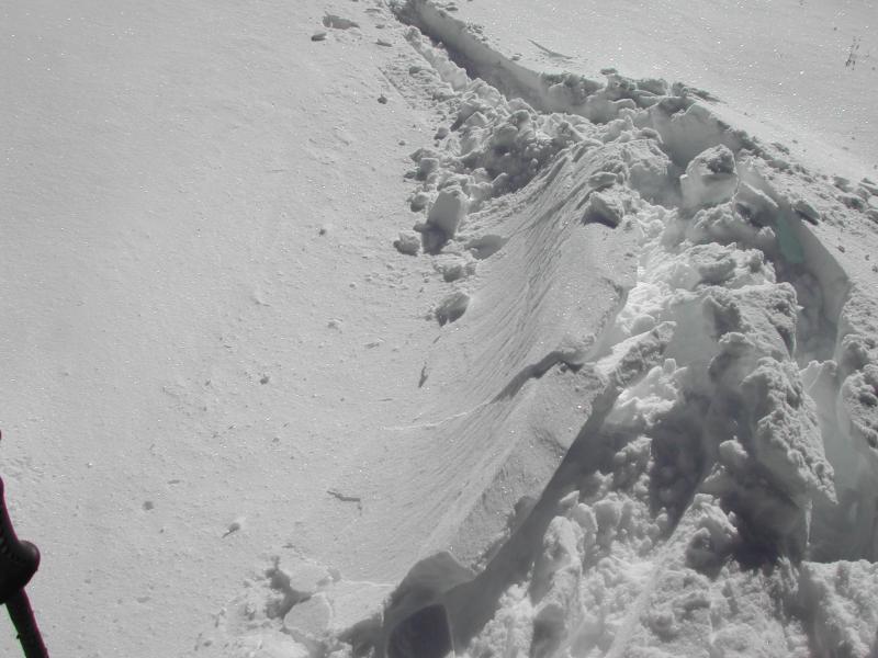
In the wind zone, at and above treeline, pockets of MODERATE avalanche danger exist and human triggered avalanches are possible, especially on steep, wind drifted, shady slopes facing the north half of the compass.

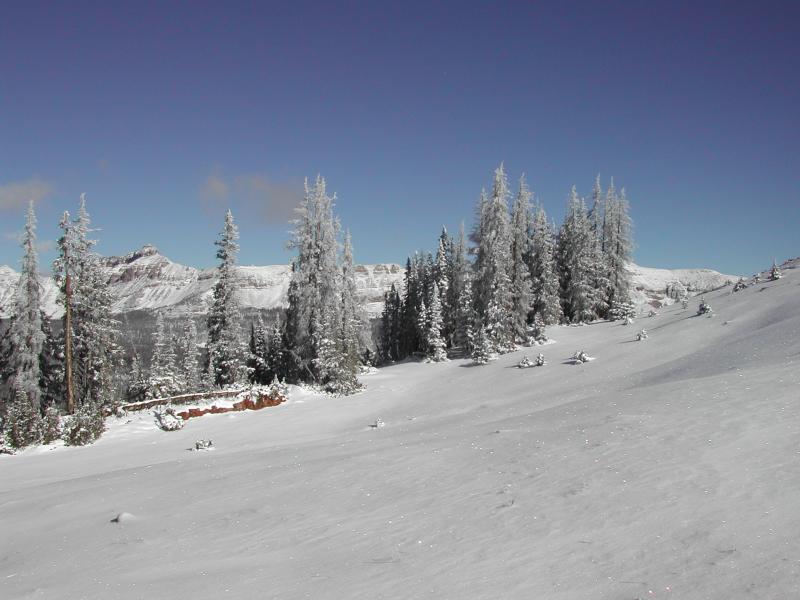
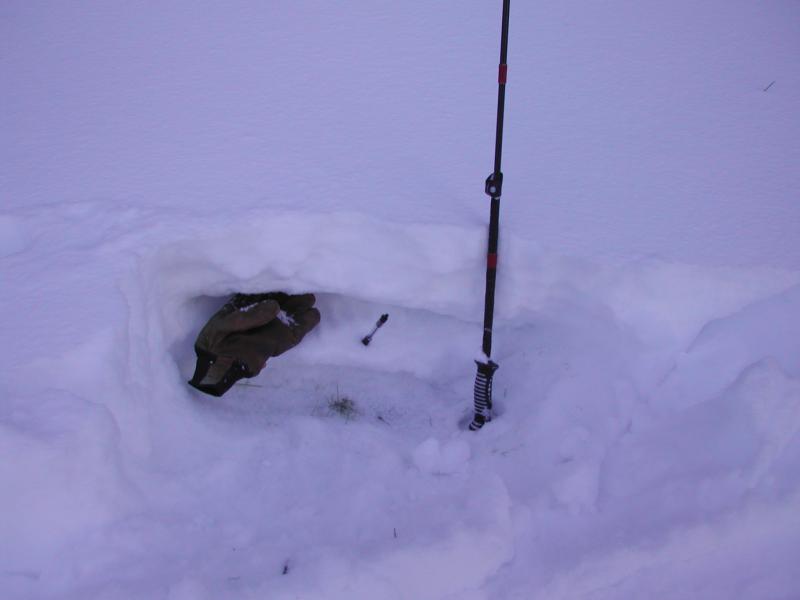
Out of the wind at mid and low elevations the avalanche danger is generally LOW.

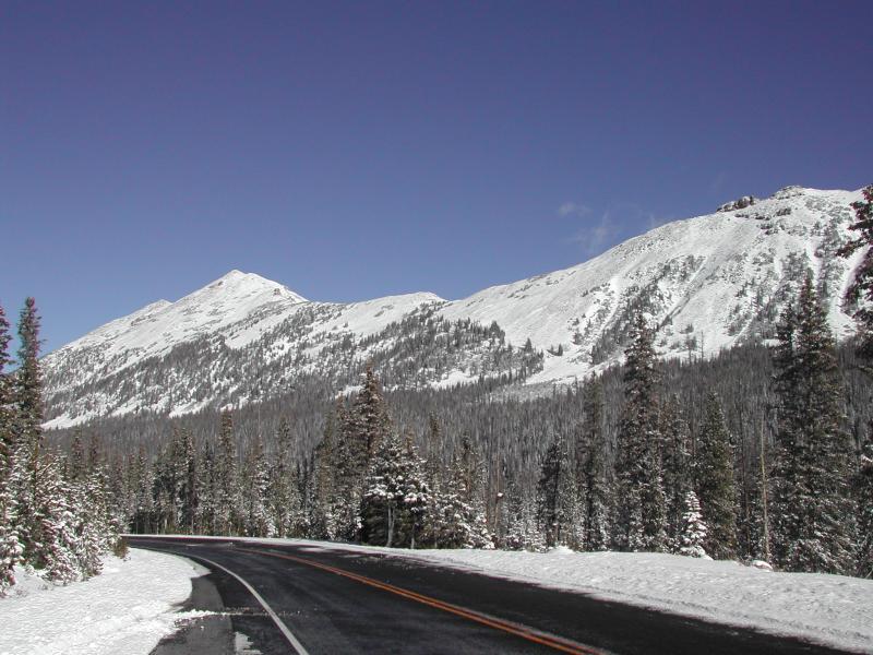
Heads up- both Mirror Lake Highway and Wolf Creek Pass are still open and access to avalanche terrain is relatively easy. Remember... just cause you can see your rig from a ridgeline doesn't necessarily make the terrain any safer and triggering even a small slide this time of year will reveal stumps, rocks, and general nastiness, easily ruining your day or perhaps your season.

Low
Moderate
Considerable
High
Extreme
Learn how to read the forecast here
Special Announcements

The next advisory update will be Sunday, November 27th. In the meantime, while you're waiting for snow to stack up, please let us know what you're seeing. You can reach me at [email protected] or 801-231-2170.

Also, before life gets crazy busy, consider scheduling one of our free avalanche awareness presentations (contact me at [email protected]) or sign up for our ever-popular, sled specific Avy Awareness and Riding Skills Workshop. (Click here for more details)

Whole foods event:

Between now and Jan 15th: Donate to the Utah Avalanche Center by shopping at Whole Foods Market Utah! when you visit Whole Foods Market Trolley Square, Sugarhouse & Cottonwood Heights locations and bring in your re-usable bags, Whole Foods will donate a dime per bag to Utah Avalanche Center when the cashier asks if you want to “keep or donate” your bag credit and you say “DONATE".

Weather and Snow

Skies remained clear overnight and temperatures warmed into the mid 20's and low 30's. Winds are the headline news and they've been ripping into the 30's and 40's along the high peaks. Things are slowly filling in, but the Uinta's are a rocky place. In general it's still super shallow and there's just barely enough snow to recreate on. Ted was out and about Tuesday and submitted his trip report along with a nice video overview of current conditions... found here.

Real time wind, snow, and temperatures for the Uinta's are found here.


It's starting to fill in, but still pretty boney, even on the high elevation slopes near Bald Mountain Pass. Ted Scroggin photo.

Recent Avalanches

No new avalanche activity to report.

Ad
Avalanche Problem #1
Wind Drifted Snow
Type
Location
Likelihood
Size
Description

Winds are already cranking along the high ridges and that's really the only place in the range where you'll get into trouble today. There's just enough loose snow to blow around and create pockety wind drifts and you'll find these along the leeward side of upper elevation ridges. It's not a widespread issue and generally isolated to steep, wind drifted terrain, especially slopes facing the north half of the compass. Today, you'll want to avoid any fat looking piece of snow, especially if it feels or sounds hollow like a drum.

Ted found a few isolated slabs along the high ridgelines near Bald Mountain Pass yesterday. Ted Scroggin photo.

Shallow snowpack, but not much weak sugary snow near the ground. Ted Scroggin photo.

Additional Information

Look for partly cloudy skies this morning, temperatures rising into the low and mid 40's, and southerly winds gusting into the 50's along the high peaks. Clouds increase throughout the day and light snow develops late tonight, lingering into early Sunday morning with just an inch or two expected. Another system hot on its heels brings a colder storm Sunday afternoon with snow totals closer to 6" by Monday morning. A third storm Monday through Tuesday morning brings the highest snow rates.

General Announcements

Remember your information can save lives. If you see anything we should know about, please participate in the creation of our own community avalanche advisory by submitting snow and avalanche conditions. You can call me directly at 801-231-2170, email [email protected]

The information in this advisory is from the US Forest Service which is solely responsible for its content. This advisory describes general avalanche conditions and local variations always occur.

The information in this advisory expires 24 hours after the date and time posted, but will be updated on Sunday November 27th.