Forecast for the Uintas Area Mountains

Issued by Craig Gordon for
Saturday, November 25, 2017
Saturday, November 25, 2017
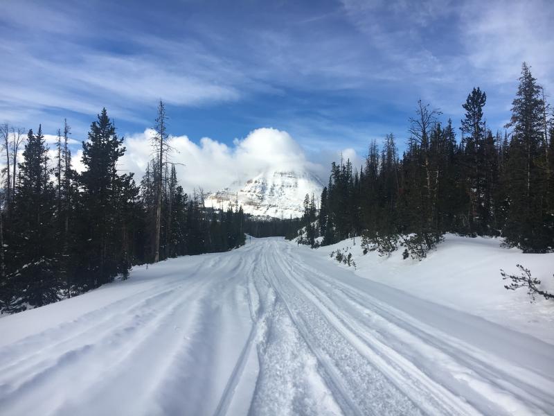
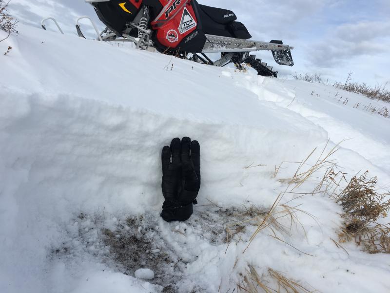
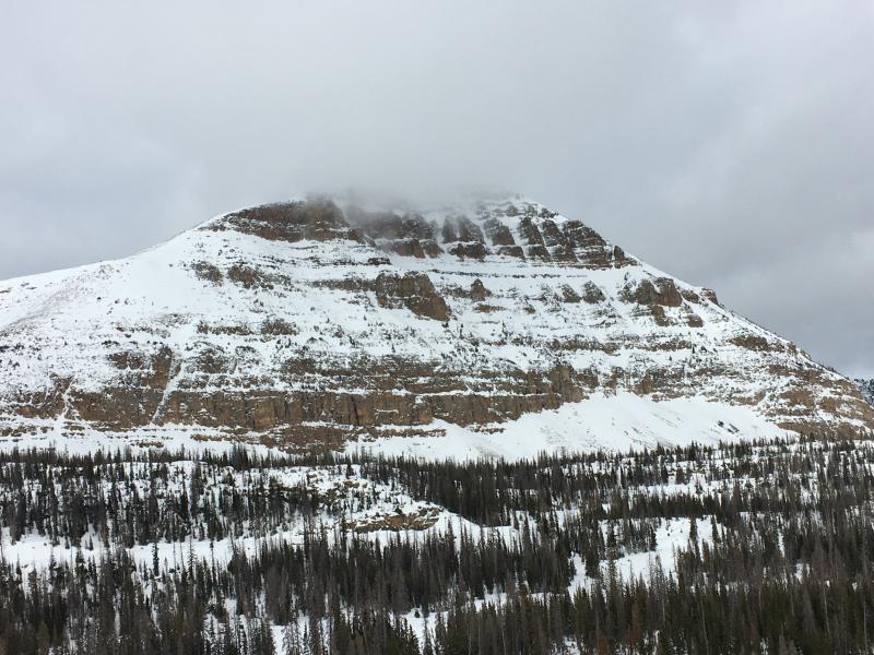
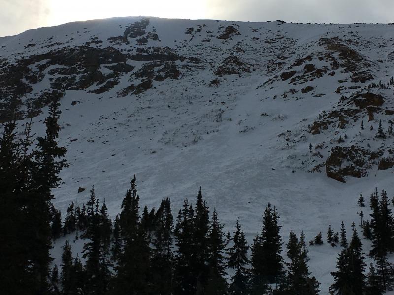
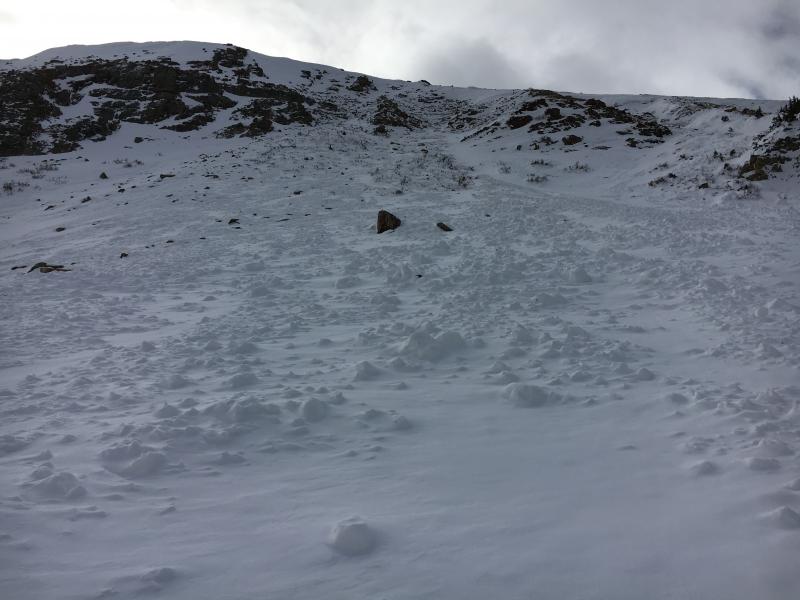
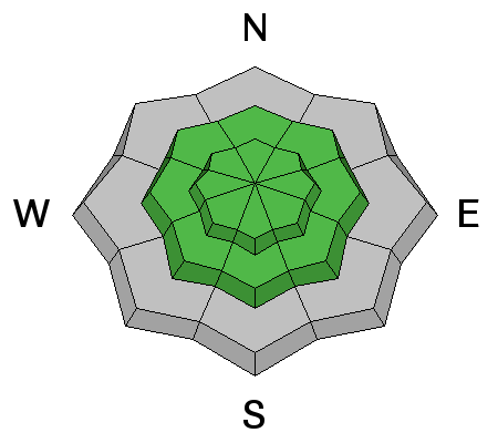
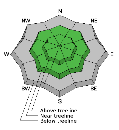
In general the avalanche danger is LOW and the chances of slamming into a season ending rock or stump are greater than triggering an avalanche. However, it's not full on green light... ride it if it's white conditions. While more the exception than the rule, steep, upper elevation north facing slopes with old, sugary snow near the ground are still likely suspects and in terrain with these characteristics you could trigger a slide that breaks deeper than you might expect. That said... it's a long winter and it's just getting started. Play it safe and find a low angle grassy meadow where you can avoid both rocks and avalanches.
Low
Moderate
Considerable
High
Extreme
Learn how to read the forecast here