Forecast for the Uintas Area Mountains

Craig Gordon
Issued by Craig Gordon for
Saturday, November 21, 2015

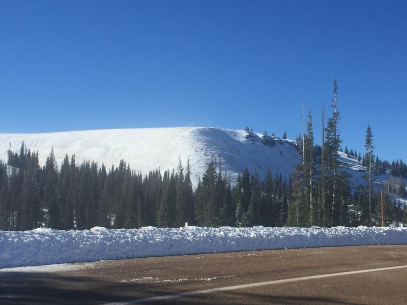
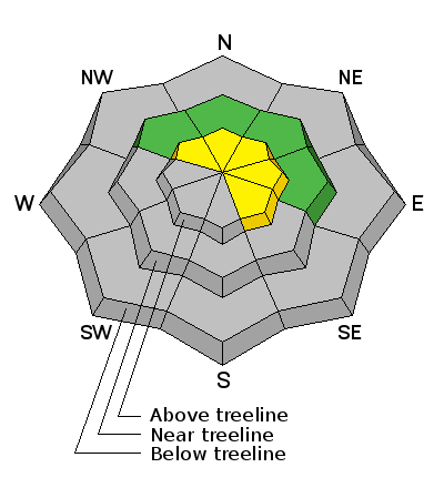
From the Mirror Lake Highway northward, a MODERATE avalanche danger exists on steep, wind drifted terrain at and above treeline. Human triggered avalanches are possible, especially on slopes facing the north half of the compass and particularly those that have an easterly component to their aspect. Remember- even a short ride in a shallow avalanche could leave you with bumps, bruises, or broken bones.

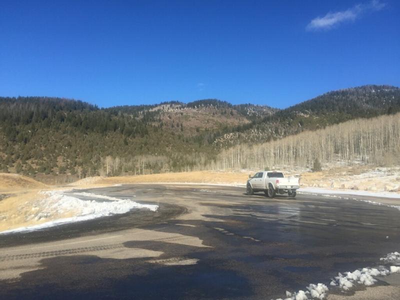
The avalanche danger is generally LOW in wind sheltered terrain and the further south you travel throughout the range.

Low
Moderate
Considerable
High
Extreme
Learn how to read the forecast here
Special Announcements

Save the date and take a date. Hope to see y'all tonight!

Weather and Snow

Thursday night's under-forecast storm over-delivered, and was particularly kind to the North Slope, stacking up about a foot of snow in favored areas. Unfortunately the south half of the range didn't get invited to the party and just a few inches of snow fell. In either case, the entire range got in on the winds. West and southwest winds have been cranking the past few days, blowing into the 40's and 50's along the high ridges. They died down late last night, switched to the north and are currently in the 10-15 mph range. Skies cleared late yesterday and temperatures have dipped in the single digits and low teens. Early season conditions abound, and with only 18"-24" of total snow on the ground, riding and turning is limited to rock free meadows and roads.

Our western Uinta weather station network is up and running. Click here for real time snow,winds, and temperatures.

North facing terrain is white from far, but far from white.

Winter is still out on sabbatical at the lower elevations.

Thanks to Tyler St. Jeor for the most excellent observation and pictures. His trip report is found here.

Recent Avalanches

No recent avalanche activity to report, but we are posting observations from the backcountry on a daily basis now. See or trigger an avalanche? Shooting cracks? Hear a collapse? It's simple. Go here to fill out an observation.

Ad
Avalanche Problem #1
Wind Drifted Snow
Type
Location
Likelihood
Size
Description

Since Wednesday, west and south west winds raged along the ridges, with hourly averages in the 40's and 50's, gusting into the 60's and 70's along the high peaks. Fortunately, strong winds tend to load leeward slopes in an erratic fashion and the drifts we're seeing aren't very connected. Unfortunately, any hard, stout drift will have formed on top of weak, sugary early season snow.

The avalanche danger isn't widespread and most likely terrain to trigger a slide today is limited to slopes at and above treeline. Steep, windloaded, upper elevation terrain, facing the north half of the compass, especially slopes with an easterly component to their aspect are likely suspects. Once triggered, today's avalanches have the potential to break to the ground, resulting in a larger slide than you might expect.

Heads up- the avalanche danger is more pronounced the further north you travel in the range. Remember- triggering even a small slide right now could result in a season ending injury if you slam into a rock or stump lurking beneath this shallow facade of white.

Additional Information

After a chilly start to the weekend a warming trend is slated for the next couple of days. Under sunny skies, temperatures climb into the low 30's today and northerly winds remain in the 10-20 mph range along the ridges. Lows tonight dip into the single digits and then climb into the mid 30's on Sunday through early next week. Clouds increase Monday and southerly winds start to ramp up ahead of a cold front slated to reach the region late Tuesday or early Wednesday. While the computer models are searching for an exact solution, the Clif Notes version indicates a good storm for Wednesday/Thursday. Perhaps we'll know better for tomorrow's update.

General Announcements

Remember your information can save lives. If you see anything we should know about, please participate in the creation of our own community avalanche advisory by submitting snow and avalanche conditions. You can call me directly at 801-231-2170, email [email protected], or email by clicking HERE

This is a great time of year to schedule a free avalanche awareness presentation for your group or club. You can contact me at 801-231-2170 or email [email protected]

The information in this advisory is from the US Forest Service which is solely responsible for its content. This advisory describes general avalanche conditions and local variations always occur.

The information in this advisory expires 24 hours after the date and time posted, but I will update this advisory by 7:00 AM on Sunday November 22nd.