Forecast for the Moab Area Mountains

Eric Trenbeath
Issued by Eric Trenbeath for
Sunday, November 27, 2016

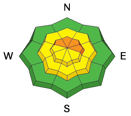
The avalanche danger will start out as MODERATE this morning will rise to CONSIDERABLE today on slopes that have recent deposits of wind drifted snow. The danger will be most pronounced on steep, wind exposed, upper elevation terrain, on slopes that have a northerly aspect.

The snowpack is very shallow, and taking a ride in an avalanche would be a bumpy, nasty experience over rocks that could easily ruin the rest of the season.

Low
Moderate
Considerable
High
Extreme
Learn how to read the forecast here
Weather and Snow

Winter is back and the mountains picked up another 4-6" overnight with another 4-8" possible during the day. Strong southerly winds have been blowing throughout the storm averaging 30 mph with gusts into the 50's. It's currently 10 degrees on Pre Laurel Peak and 21 at the Geyser Pass Trailhead. The new snow is falling on an existing base of 15-20" and the danger remains high for hitting rocks and stumps below the surface.

Ad
Avalanche Problem #1
Wind Drifted Snow
Type
Location
Likelihood
Size
Description

Look for rising avalanche danger today as snow accumulates and fresh deposits of wind drifted snow develop on the lee sides of ridge crests and terrain features. The danger will be most pronounced in upper elevation, wind exposed terrain on slopes with a northerly aspect. Beware of smooth rounded pillows of recently deposited, wind drifted snow and look for signs of collapsing or cracking in the snow surface.

Avalanche Problem #2
Persistent Weak Layer
Type
Location
Likelihood
Size
Description

As new snow accumulates the potential for triggering an avalanche on a buried weak layer of near surface facets will increase. This danger is most pronounced on mid-upper elevation slopes with northerly aspects. Even a small slide triggered in these areas could take you for a nasty, bumpy ride over rocks and potentially ruin your season.

Additional Information

Snow will continue throughout the day with another 4-8" possible. Westerly winds will continue to blow in the 20-30 mph range with gusts to 40 mph. High temperature at 10,000' will be near 20 degrees. Snow is expected to continue through Monday.