

Observation Date
4/18/2024
Observer Name
Ryan Huels
Region
Moab » Horse Creek
Location Name or Route
Laurel Highway/Horse Creek Basin
Comments
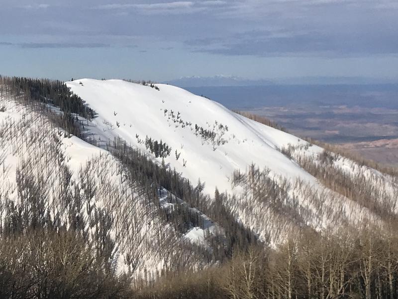
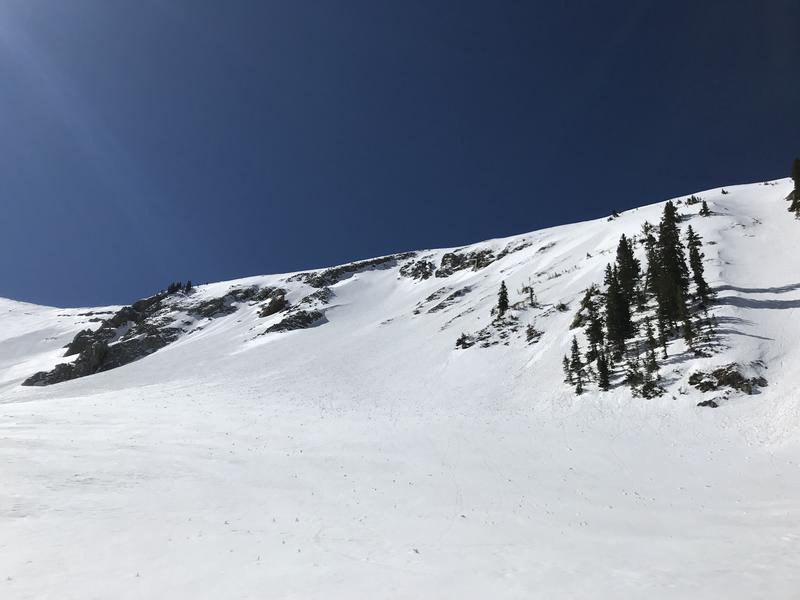
I toured the Laurel Highway started from the winter lot at 730am. Snow at the parking lot was hard and frozen but the dirt was wet indicating only a surface freeze. Touring up the snow was hard and frozen aside from areas of pooling near large tree wells where I sunk in several inches.
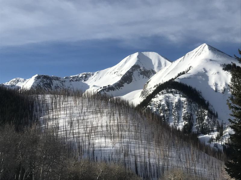
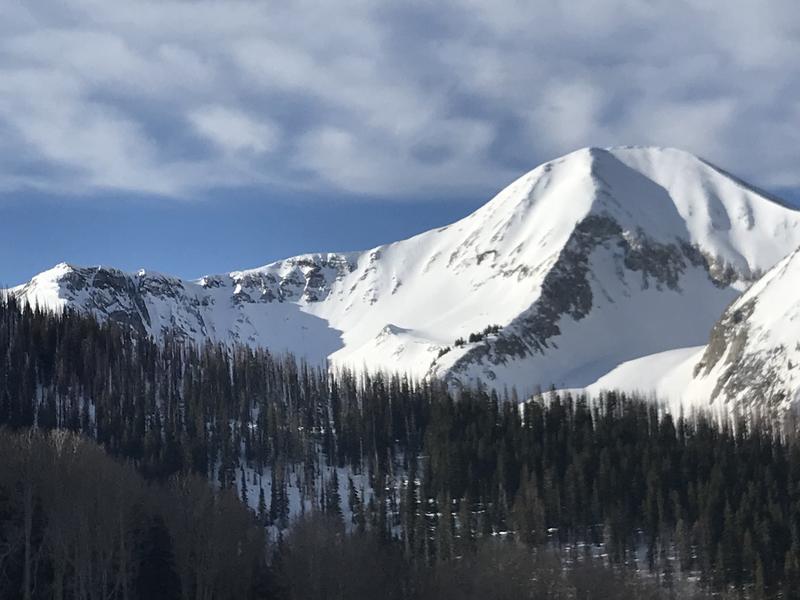
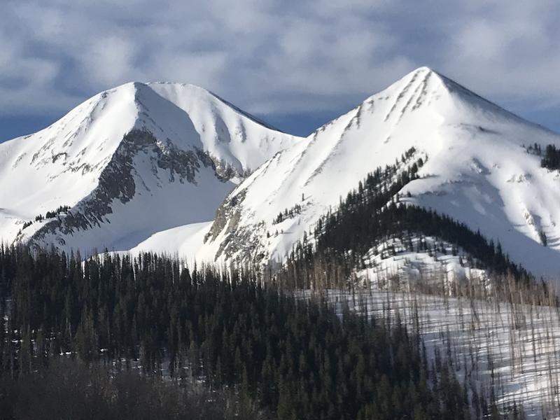
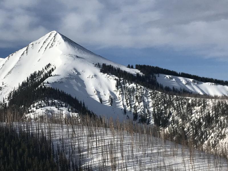
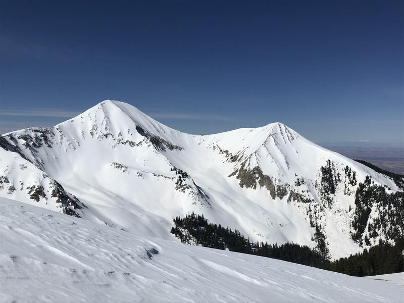
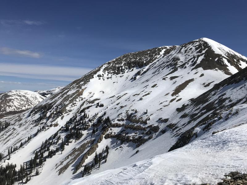
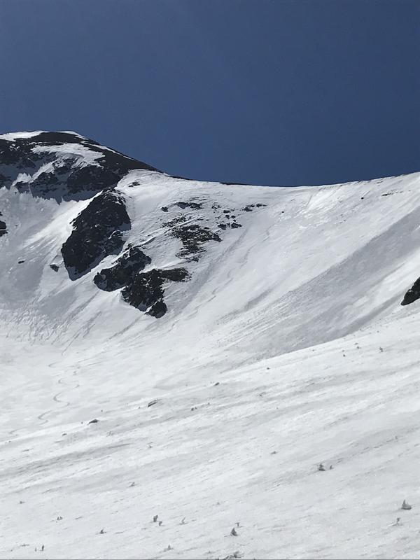
I climbed to the wind station where I dug a NW facing pit to the base of the snowpack at 11600 feet. The snowpack ranged from 100-120 CM deep and was mostly consolidated and fists dense. There was a melt freeze crust at the top under 2-3 inches of dense wind blown snow from the storm Monday. No reactivity with ECT X times 3. North facing aspects seems to be holding snow well and the recent snow has covered the previously dirty snow while southerly faces have been stripped by the sun and wind. Where there is snow on southerly faces, primarily on more E or W facing aspects, it is dirty.
The best quality snow was on steep northly facing trees or protected areas where there is still some soft snow to be found. I skied two NNW faces pitches above tree line into the horse creek basin. On my first run at 10:00 it was still firm under the new wind blown snow and by 11:00 it was great soft corn like conditions. Southerly aspects were froze solid at 10am and seemed to come into play around 11:30-12:30pm and only lasted a short while before rollers and deep penetration into the snow were present.
North facing aspects had the best snow in my opinion, but in areas above tree line you do need to wait a little for the sun to soften up your turns while north facing aspects in the trees still held good, soft snow from the early morning to the early afternoon. Southerly faces are in the full on corn cycle with dirty snow. Rapid warming this week Monday-Wednesday with highs in Moab in the upper 80s so keep an eye on the weather stations for overnight freezing.

Today's Observed Danger Rating
Low
Tomorrows Estimated Danger Rating
Low
Coordinates