Observation: Cedar Canyon Region

Observation Date
3/10/2024
Observer Name
S. Donovan
Region
Southwest » Cedar Canyon Region
Location Name or Route
Cedar Canyon
Red Flags
Red Flags
Recent Avalanches
Poor Snowpack Structure
Avalanche Problem #1
Problem
Persistent Weak Layer
Problem #1 Comments
The early season PWL is now buried beneath ~120cm of snow where the snow pit was dug above 10,000 ft and the snowpack above this layer is very stout. The likelihood of triggering this layer outside of thin, rocky, and steep areas seems unlikely.
Avalanche Problem #2
Problem
Wind Drifted Snow
Trend
Decreasing Danger
Problem #2 Comments
In the area where we skied the initial third of the new snow from last week fell as graupel and was subsequently buried during the later half of the storm. One old avalanche was observed, and my best guess is that it failed on this graupel layer as a result of wind loading on this graupel layer.
Snow Profile
Aspect
Northwest
Elevation
10,000'
Slope Angle
18°
Comments
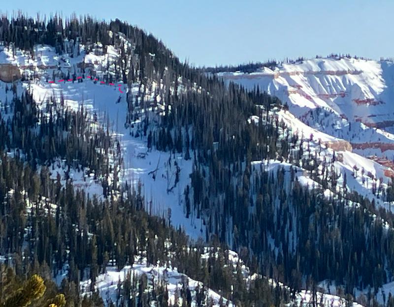
Image quality is poor, but shows an avalanche that likely occurred on a north facing aspect just off of the rim overlooking Cedar Breaks during last weeks storm. No other avalanches were observed over the course of four days traveling on snowmachine and skis in the area between Brianhead and Cedar Canyon.
It's worth noting, if not to be expected, that the snowpack quickly becomes substantially thinner and prone to wind slabs in steep exposed terrain.
Today's Observed Danger Rating
Low
Tomorrows Estimated Danger Rating
None
Coordinates