

Observation Date
3/10/2024
Observer Name
David L
Region
Salt Lake » Big Cottonwood Canyon » Greens Basin
Location Name or Route
Greens Basin
Comments
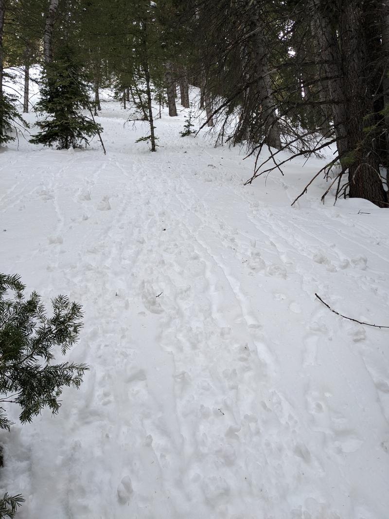
Went on a tour today with a group of 5 total at Greens Basin starting around 11:30 AM. By the time we got ready it was probably closer to noon. Was fine starting out, but as we followed the skin track and trail under the steep terrain starting around 40.63573, -111.63268 we spread out our line to limit exposure. As we came to about 40.63556, -111.63131 we had a group discussion and talked about how to proceed. We knew we wanted to gain the ridge. One option was set a switchback track up the steep slope directly to our right as we were traveling, which some in our group who had done this area before said was the usual way they had done it. Points in favor of this was that it was a north aspect so we thought it would be less susceptible to the wet snow problem we were reading about. The other option was continue along the track until we got to a lower angle (though still understood to be avalanche terrain) slope above 40.63408, -111.63018. This was lower angle but was east facing so we thought it would be hotter than a north slope and more susceptible to wet snow issues. Included a screenshot of Caltopo showing the area and the two routes we tried. After some discussion we decided as a group that the steeper north facing slope was the way to go. The area that we were having this discussion was in the shade, so maybe that limited our understanding of just how hot it really was.
We decided to go in two groups up the steep slope, with each group accordioning to the edges of the switchbacks to avoid crossing above each other. The first two skiers proceeded in this manner with the first person up breaking trail as there was not a skin track set. The remaining 3, including myself waited at the bottom away from the area where the skin track would be running. While we waited, we dug a few hasty snowpits and were able to find a weaker snow layer about 10" to a foot down. In a very unscientific manner we were also able to put a shovel in the back of the pit and get a slab to break at this level with a bit of effort. Once we could see that the first 2 were far enough up the slope, the remaining 3 of us started to accordion up the slope. I led this group and as I reached the second switchback in the shade I saw a few large roller balls come down about 15 feet in front of me. I checked the slope angle with an inclinometer app on my phone at this point and it appeared to be 39 degrees where the rollers came down. I waited for the rest of my group to join me, mentioned the roller balls and proceeded up the next switchback. Once I got to the end of this I was fully in the sun and I started to notice both how hot it was and how steep the slope was above me. As the rest of my group joined I told them I wanted to bail on this slope and find a different way up. We switched into ski mode and descended back to the primary skin track with skins still on. We contacted the first group who had successfully made it to the ridgeline and told them we were taking another way around. We then skinned to the alternate slope at 40.63408, -111.63018 and set a skin track up, though we quickly found some preexisting ones as well. This slope was just under 30 degrees and I noticed more sinking, but it felt significantly safer because of the lower angle and we soon gained the ridge. Skinning from that point was challenging because of the snow quality but all low angle. Snow in the north aspect low angle trees coming down was pretty fun.
I think the main human factors mistake we made as a group was deferring to the people in our group who had done the route before when we were deciding how to gain the ridge. In retrospect, we did not even need to gain that ridge, we could have just followed the skin track and ascended through the same low angle trees we ended up skiing down. The ones who had done the route before did say it was faster to do it by gaining the ridge, though. The other mistake was not having a full understanding of the conditions on the slope we were planning to ascend as we had been skinning and discussing in the shade while the slope was exposed to more sun than I expected with it being a north aspect. Another mistake was not starting the tour earlier, we thought we were not going to be skiing avalanche terrain and we eventually didn't, but that didn't account for the steep part of the ascent to gain the ridge. I am glad I made a decision to bail on the steep route when it felt unsafe and didn't keep pushing on because "the other group made it so we could too". No one was hurt and no avalanches were triggered, but it was definitely one of the more scary moments I've had touring this year.

Today's Observed Danger Rating
Low
Tomorrows Estimated Danger Rating
Low
Coordinates