Observation: South Fork Provo R.

Observation Date
3/5/2024
Observer Name
Champion/Kelly
Region
Provo » Provo Canyon » South Fork Provo R.
Location Name or Route
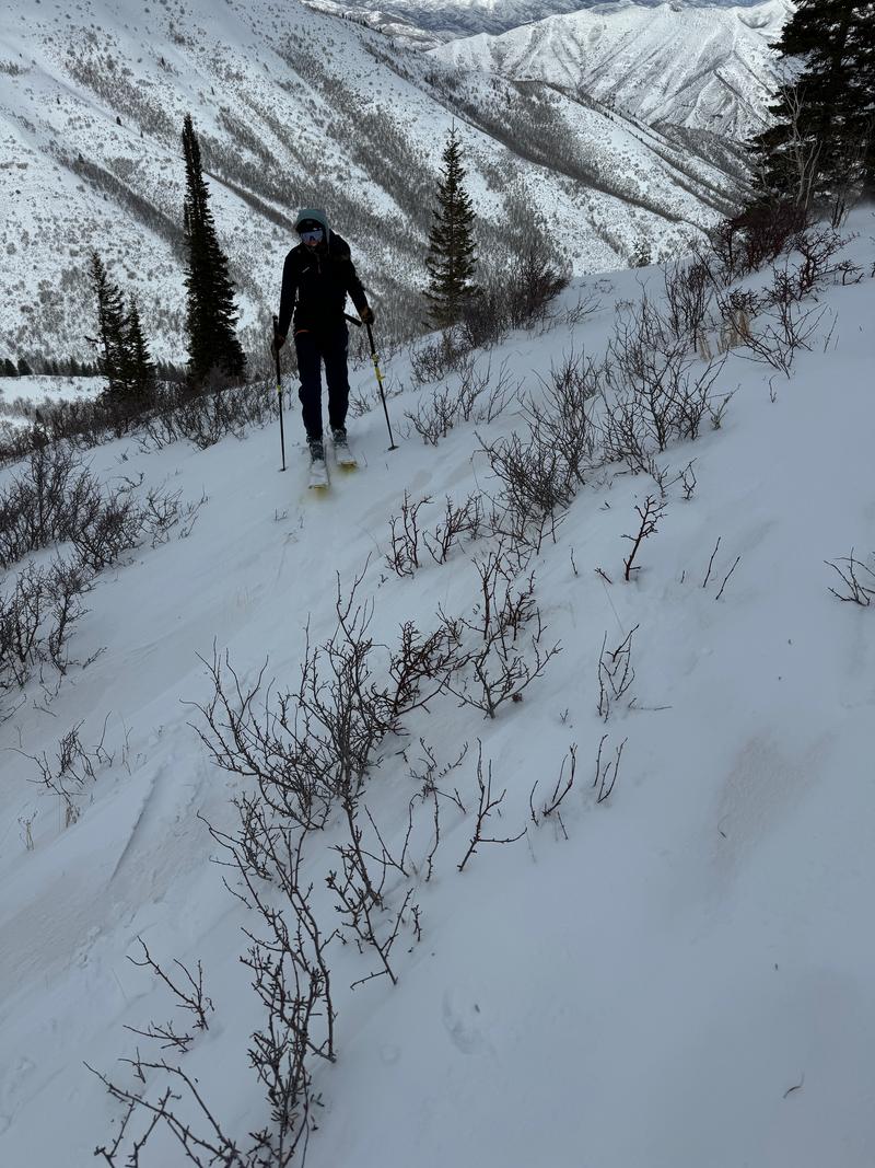
South Fork Provo River
Weather
Sky
Broken
Wind Direction
Southwest
Wind Speed
Strong
Weather Comments
The skies were mostly overcast to start the tour, with a cloud deck hovering around 9500'. Precipitation occurred on and off during the beginning of the tour, and then returned around 2 PM. Winds picked up from the southwest around 7500'. Temperatures remained in the mid-20s °F.
Snow Characteristics
New Snow Depth
5"
New Snow Density
Low
Snow Surface Conditions
Powder
Damp
Snow Characteristics Comments
There was about 5"-6" of light dry snow to start the tour and by the time we exited the snow surface was damp below 7400'. Snow surface in protected areas was dry and not wind-affected. Heavy wind affect above 7500' with lots of new snow available for transport. In areas of scouring, there were still signs of lingering graupel deposits.
Above photo showing dry new snow on top of a melt-freeze crust at 5600'. This snow at this elevation was wet and mushy by the time we exited. The dirt layer was visible under the new snow from 5500' up to 9200'.
Above photo showing wind texture and transport.
Above photo shows lingering graupel deposit.
Red Flags
Red Flags
Wind Loading
Avalanche Problem #1
Problem
Wind Drifted Snow
Trend
Same
Problem #1 Comments
We were able to trigger new soft slab wind-drifted snow avalanches on north-east facing aspects along the ridgelines. These were sensitive and we were able to trigger these avalanches 4"-8" deep well back from the ridgeline. These 4F(four finger) hard wind slabs were running on a layer F(fist hard) precipitation particles. They were propagagating up to 100' wide and running with small powder clouds until they lost their slope angle. As we ascended and got into steeper terrain we stopped toying with this wind-drifted snow as the drifts became harder and more likely to break deeper and above us.
Avalanche Problem #2
Problem
Wet Snow
Trend
Same
Problem #2 Comments
Wet snow and wet loose rollerballs below 7400' on steeper terrain. With warming temperatures this problem will rise in elevation.
Snow Profile
Aspect
Northwest
Elevation
9,100'
Comments
The total snow height measured 5.3 feet (163 cm). Within the top 3 feet (100 cm) of the snowpack, we identified two weak layers. The first was a density change located 6 inches (15 cm) from the surface, while the second was above the dirt graupel layer, positioned 11 inches (26 cm) from the surface.
The upper layer, located 6 inches down, exhibited compression test results (CT5 and CT7) showing sudden collapse, while extended column tests (ECT5) showed no propagation; however, we expect this to settle shortly. The layer associated with the dirt graupel produced compression test results (CT12 and CT12) indicating sudden collapse, and an extended column test result (ECTN26) showed no propagation on the small facets above the graupel.
The area where we dug showed no signs of current or past wind-loading.
Video
Today's Observed Danger Rating
Moderate
Tomorrows Estimated Danger Rating
Moderate
Coordinates