

Observation Date
2/23/2024
Observer Name
Champion, Antenucci, Jenson
Region
Salt Lake » Big Cottonwood Canyon » Cardiff Fork
Location Name or Route
Days Fork - Cardiff Fork - Mineral Fork
Comments
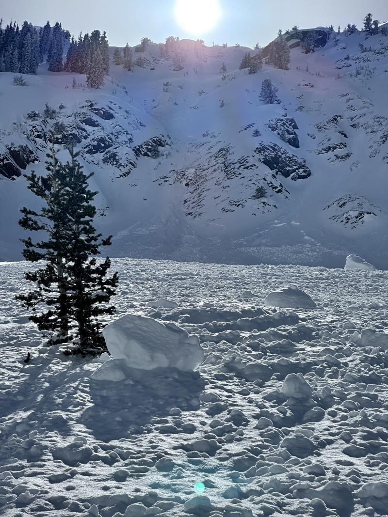
The main goal for the day was to explore multiple drainages and observe the upper elevations and east-facing terrain in the Days, Cardiff, and Mineral areas. This was the first day in what felt like a week with true widespread visibility. Generally, the east and southeast facing terrain has been the most suspect since the Valentine's facet layer was buried and has now been loaded multiple times. Given the good visibility, it was expected that people would begin to venture out more during their travels.
The primary observation during our travels was the snow surface. As mentioned earlier, there was widespread preserved surface hoar on almost all aspects. Directly below the surface hoar on any solar aspects (S, W, and SE) was a varying degree of supportable crust from the previous day. This now creates another similar interface to the Valentine's Day crust, with a crust and weak snow interface. Given the general weather conditions, I would expect there to be both diurnal facets as well as the potential for some radiation recrystallization facets mixed in on the surface of this crust. Winds remained generally calm, so the surface hoar was preserved even along ridgetops. With continued clear skies and cooler nights, we could see the snow surface above the crust continue to weaken in the following days.
Outside the solar aspects, the snow surface remained generally soft, including a mixture of cold powder, faceted loose snow, and some preserved graupel. This allowed the snow to still run fast and far in steeper terrain, though generally not very cohesive. In colder areas, the new snow still has the potential to knock individuals off their feet and potentially sweep them through more consequential terrain. Areas of increased concern would be those allowing excessive graupel pooling, such as below cliff bands or steep steps, or terrain features that allow for drifting snow to accumulate. Once the wind comes into play, this is where we could have a more cohesive slab.
The final concern is the persistent weak layer, and while we did not observe any recent avalanche activity on this layer during our travels, the snowpack structure still exists. Especially on east-facing terrain that still possesses the crust-facet interface. The likelihood continues to decrease, but as always with persistent weak layers, the consequence remains the same. The weekend's warmer temperatures will continue to influence this persistent weak layer in the right direction, but for the time being, I am going to continue to approach steeper north and west-facing terrain cautiously, and give east and southeast-facing terrain a wider berth.
Solar aspects were beginning to pick up some heat throughout the day, both becoming damp and having widespread rollerballs and pinwheels. This problem will just continue throughout the weekend.
Signs of small loose avalanches from the day prior across from Flagstaff - Toledo
Additonal photo of the Two Dogs avalanche from 2/20 - initially cornice triggered avalanche on a NE aspect
Widespread small rollerballs coming off rock bands - W facing - lower elevation Mineral Fork
Slab avalanche between Mongo No and Barrieto in upper mineral, E NE - appeared to be 1-2' deep failing on valentines day layer.
Today's Observed Danger Rating
Moderate
Tomorrows Estimated Danger Rating
Moderate
Coordinates