

Observation Date
2/14/2024
Observer Name
Champion, Talty
Region
Salt Lake » Little Cottonwood Canyon » Grizzly Gulch » Twin Lakes Pass
Location Name or Route
Twin Lakes Pass
Comments
With the days of cold nights and clear weather over the weekend, the snow surface had begun to weaken across the range, with reports of both near-surface facets and surface hoar. The primary goal of today was to look for the near-surface faceting and see if it had been capped by the few inches of overnight snowfall, especially in areas that had experienced a bit more wind over the last 24 hours compared to protected terrain.
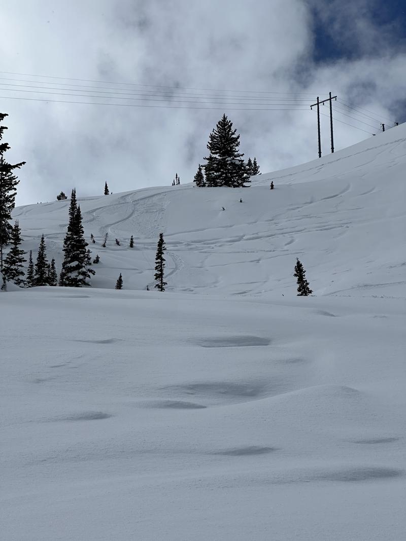
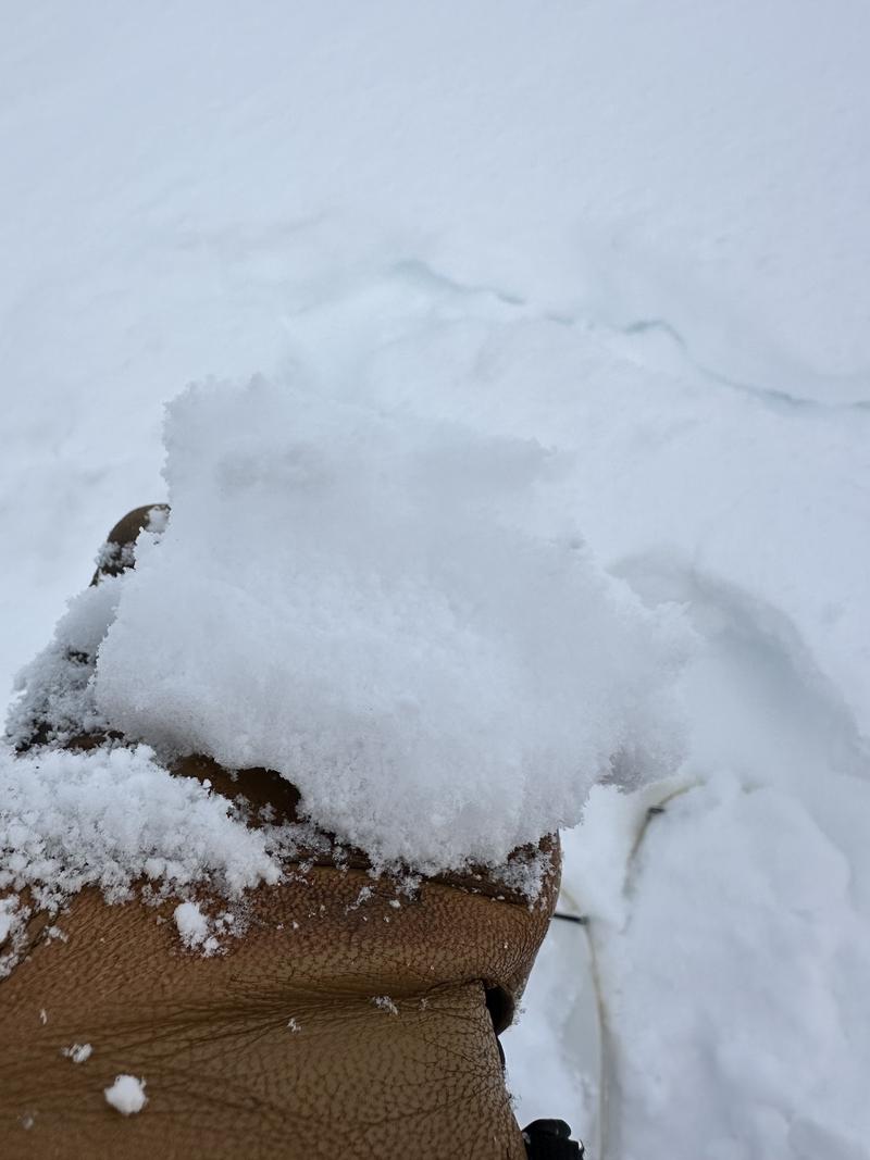
Right away, there were obvious signs of wind drifting across much terrain, with texture and some small cornicing forming along ridgelines. In wind-drifted, steeper terrain, it was easy to kick off fast-running sluff that failed about 8" deep. Upon closer inspection, we weren't able to find well-preserved surface hoar or near-surface facets, but it seemed to be failing on a density change, and in some areas, well-preserved graupel was evident.
We observed a few other very small soft slab avalanches that seemed to fail on the same interface and appeared to be areas where graupel was present. We dug on both an east and a more westerly aspect in both areas but could not find well-preserved near-surface facets. Both of these areas had been recently exposed to high winds. I would guess that the near-surface facets would be well-preserved in areas that were a bit more protected prior to the overnight snow.
Whether it's graupel or near-surface facets, the snow surface that the most recent few inches of snow fell on is weak, and with more snow, I would expect sluffs to continue to run fast and far, and wind drifts to be sensitive if sitting on top of either.
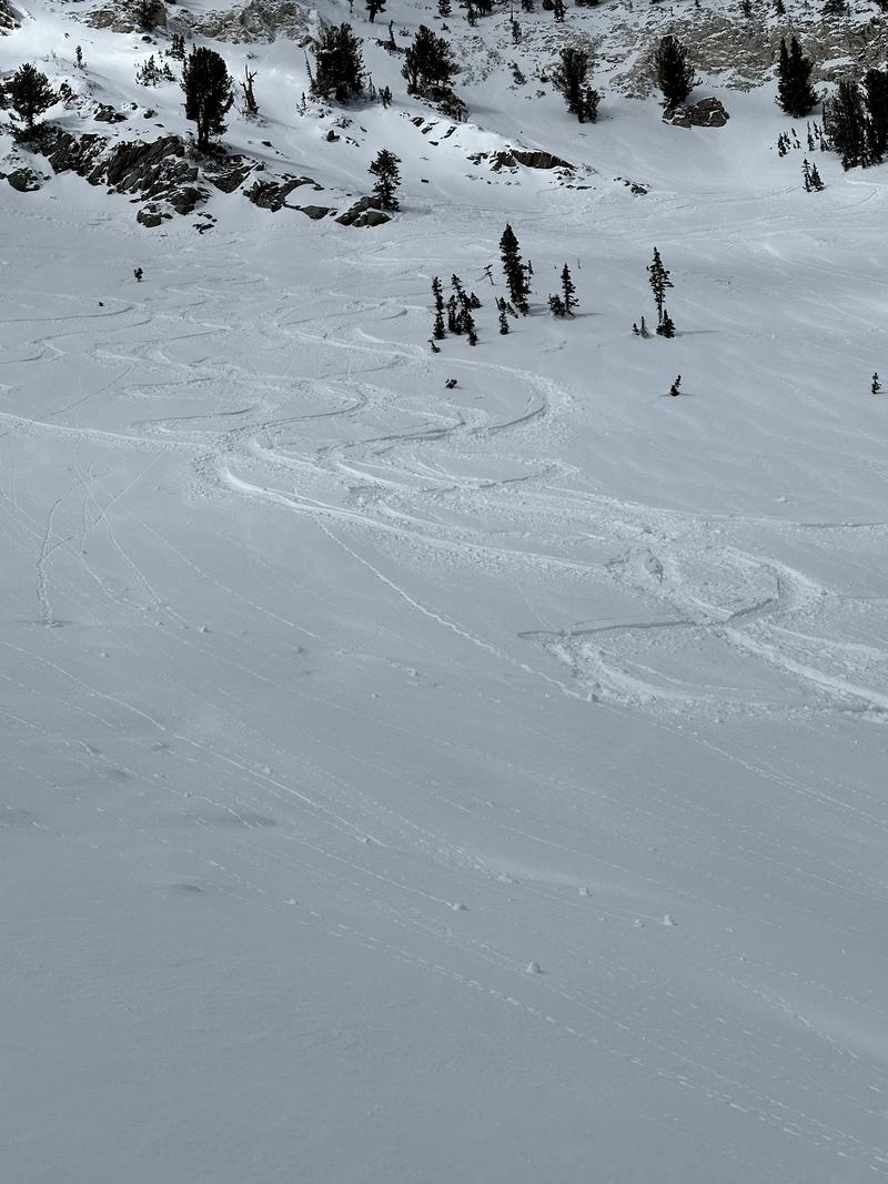
Small soft slab off the rock band
Small soft slab on steep roll, likely failing on graupel.
Well preserved graupel layer below new snow
Today's Observed Danger Rating
None
Tomorrows Estimated Danger Rating
None
Coordinates