


Observation Date
2/8/2024
Observer Name
Zimmerman-Wall
Region
Salt Lake » Big Cottonwood Canyon » Mill D North » Powder Park
Location Name or Route
Powder Park 3
Comments
Tour was short and I went out with the goal to avoid avalanche terrain with PWL or wind load and observe multiple aspects. Traveled across the compass at mid elevation and did not see any avalanche activity in this part of the Mill D drainage, or over yonder in Bear Trap. On the exit at 12pm out Mountain Mahogany, the snow felt more dense than when I had arrived, attributed to the solar input through the clouds on the southerly aspect. No sluffing on the 35 degree shoulder of the run where I rode.
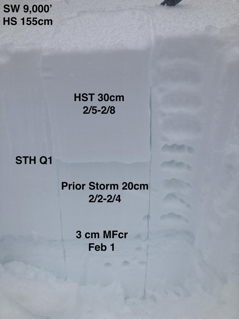
1. Test profile with hand hardness and shovel shear test. STH down 30cm failing on interface between the two storms this week. No facets noted. The Storm snow is well bonded to the the stout melt freeze crust buried on 2/1.
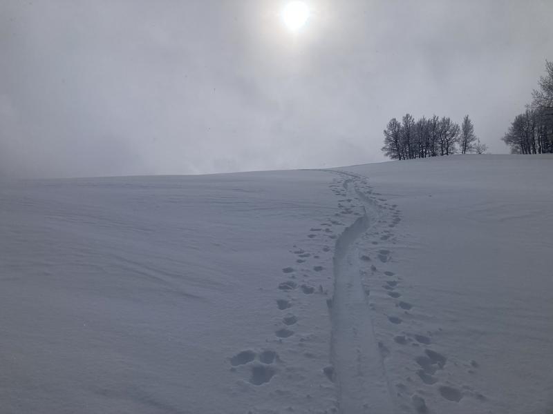
2. Skin track in storm snow with subtle wind effect. Ski pen of 20cm average
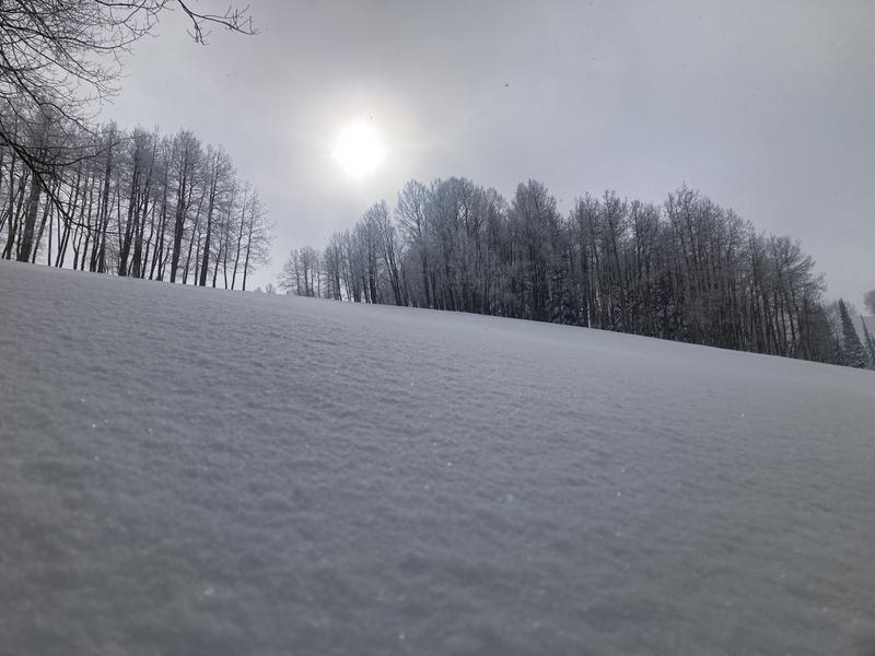
3. Surface conditions in Powder Park 3 - West aspect at 9000'
Today's Observed Danger Rating
Moderate
Tomorrows Estimated Danger Rating
None
Coordinates