icon-add
Observation
Menu
×
Menu
Forecasts
Logan
Ogden
Salt Lake
Provo
Uintas
Skyline
Moab
Abajos
Weather
Archives
How to read the forecast
Observations & Avalanches
Submit Observation
NEW - Observations Explorer
All Observations
Avalanches
Fatalities
Place Names Map
Archives
Education
Avalanche Awareness
Develop Skills
On-Snow Courses
Resources and Tutorials
Events
Store
About
Contact
Who we are
Core Values
Staff
Board of Directors
Past Forecasters
Sponsors
Annual Reports
Sign In
Blog
Donate / Join
Search
Forecasts
Logan
Ogden
Salt Lake
Provo
Uintas
Skyline
Moab
Abajos
Weather
Archives
How to read the forecast
Observations & Avalanches
Submit Observation
NEW - Observations Explorer
All Observations
Avalanches
Fatalities
Place Names Map
Archives
Education
Avalanche Awareness
Develop Skills
On-Snow Courses
Resources and Tutorials
Events
Store
About
Contact
Who we are
Core Values
Staff
Board of Directors
Past Forecasters
Sponsors
Annual Reports
Sign In
Blog
Menu
Search
icon-add
Observation
Donate / Join
Submit Observation
NEW - Observations Explorer
All Observations
Avalanches
Fatalities
Place Names Map
Archives
Submit Observation
NEW - Observations Explorer
All Observations
Avalanches
Fatalities
Place Names Map
Archives
Observation: Cone
Observation Date
1/11/2024
Observer Name
AAI Pro 1
Region
Salt Lake » Big Cottonwood Canyon » Bear Trap » Cone
Location Name or Route
The Cone
Weather
Sky
Overcast
Precipitation
Light Snowfall
Wind Direction
West
Wind Speed
Moderate
Weather Comments
Light snow throughout most of the day with a few periods of heavy snowfall. Winds picked up in the afternoon.
Snow Characteristics
New Snow Depth
12"
New Snow Density
Low
Snow Surface Conditions
Powder
Snow Characteristics Comments
10 to 18 inches of right-side up low-density snow.
Red Flags
Red Flags
Recent Avalanches
Heavy Snowfall
Wind Loading
Cracking
Collapsing
Poor Snowpack Structure
Red Flags Comments
our group experienced a handful of localized collapses even on a low-elevation southwest aspect.
Avalanche Problem #1
Problem
Wind Drifted Snow
Trend
Increasing Danger
Problem #1 Comments
We observed a recent avalanche on an east aspect of Reynolds Peak around 9400' and had cracking and collapsing on a freshly wind-drifted lee slope at 9100'.
Avalanche Problem #2
Problem
Persistent Weak Layer
Trend
Increasing Danger
Problem #2 Comments
I am surprised by the amount of water weight the December Drought Layer has held so far without failing naturally- likely due to the low-density snow and incremental loading with the initial waves of snow. We observed a consolidating slab 1F in hardness roughly 3 ft. thick on an upper elevation wind-drifted slope.
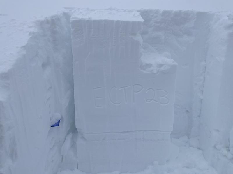
Snow Profile
Aspect
Southeast
Elevation
9,100'
Slope Angle
29°
Today's Observed Danger Rating
Considerable
Tomorrows Estimated Danger Rating
High
Coordinates