

Observation Date
1/11/2024
Observer Name
Mike J
Region
Uintas » Hoyt Environs
Location Name or Route
Hoyt
Comments
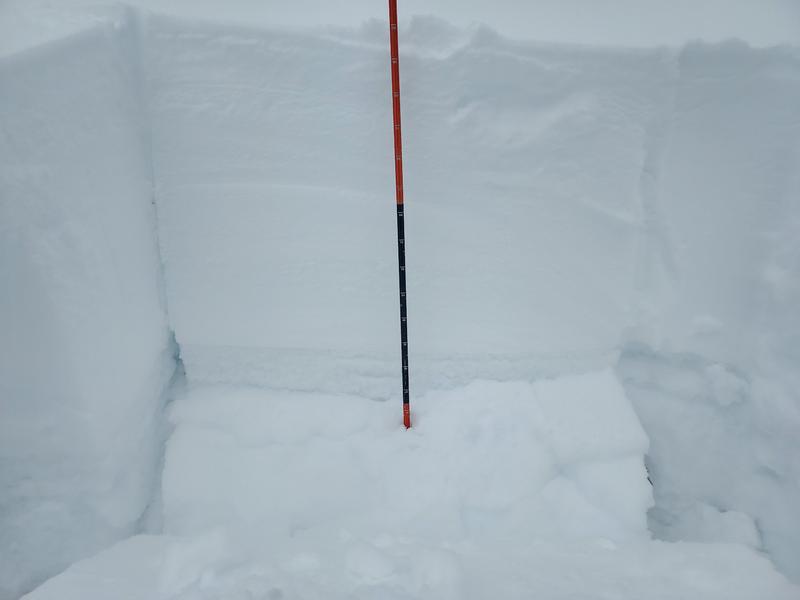
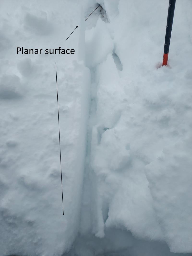
I was determined to get up around some avalanche terrain today. It took a bit, but I managed to slog up to Hoyt. At mid-elevation the snowpack has doubled since the evening of the 4th with 18 inches of new settled snow. I observed widespread collapsing along with propagation on steeper features. We typically have cornices from persistent SW winds on the north slopes, however, so far this year, in this location, the load has been reversed and the result is a lack of cornices and matting on the north facing entrances. Other than a ski cut with no results on the north with a lack of wind loaded snow, I stayed on the south in lower angle terrain. I dug a little lower on a ~10 degree SW facing feature and my ECT block fell in the pit on my first elbow tap failing below a melt-freeze that developed during our high and dry.
Today's Observed Danger Rating
High
Tomorrows Estimated Danger Rating
High