


Observation Date
1/9/2024
Observer Name
Gagne
Region
Salt Lake » Big Cottonwood Canyon » Reynolds Pk
Location Name or Route
Reynolds Peak
Comments
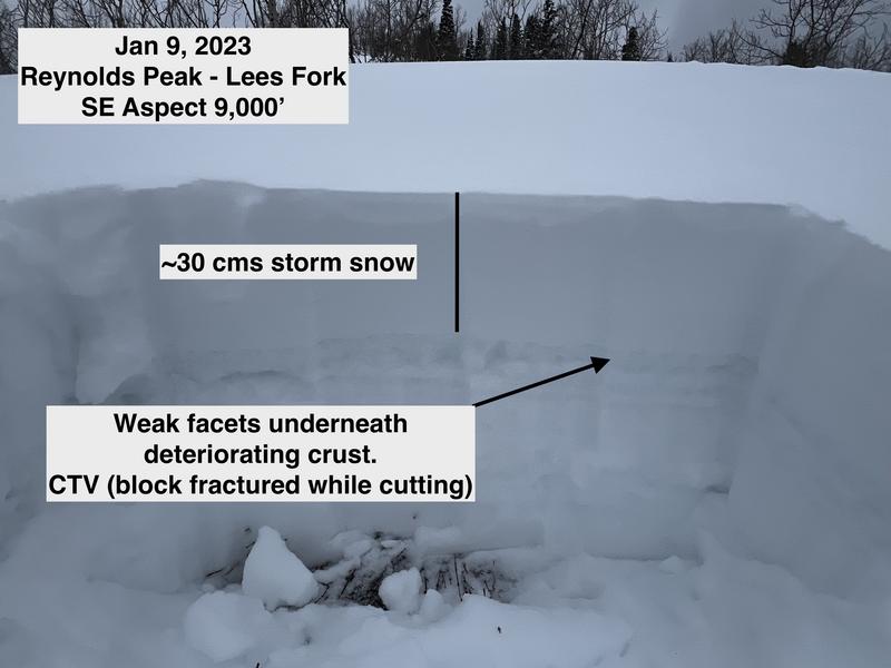
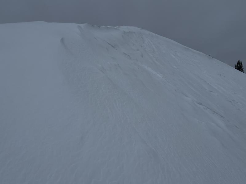
Route was up Lees Fork to Reynolds with a Mill D exit. South aspects were dry prior to the recent storms, so there are no PWL issues. Southeast aspects up to 9,500' are shallow (less than a meter) with different facet/crust combinations. On one pit on a SE aspect at 9,000', the block would fracture upon isolation, failing in weak facets underneath a deteriorating crust. The setup of an incredibly poor snowpack structure is in place and in areas with some wind-loading, we are seeing natural, and human-triggered (as well as remotely-triggered) soft slab avalanches failing on the PWL (December Drought Layer). With strong winds and heavy snowfall forecast this evening, we should have a slab distributed more evenly across most aspects.
Photos of snowpack on SE aspect and wind-drifting on leeward NW aspects from SW winds.
Video showing block failing upon isolation.
Video
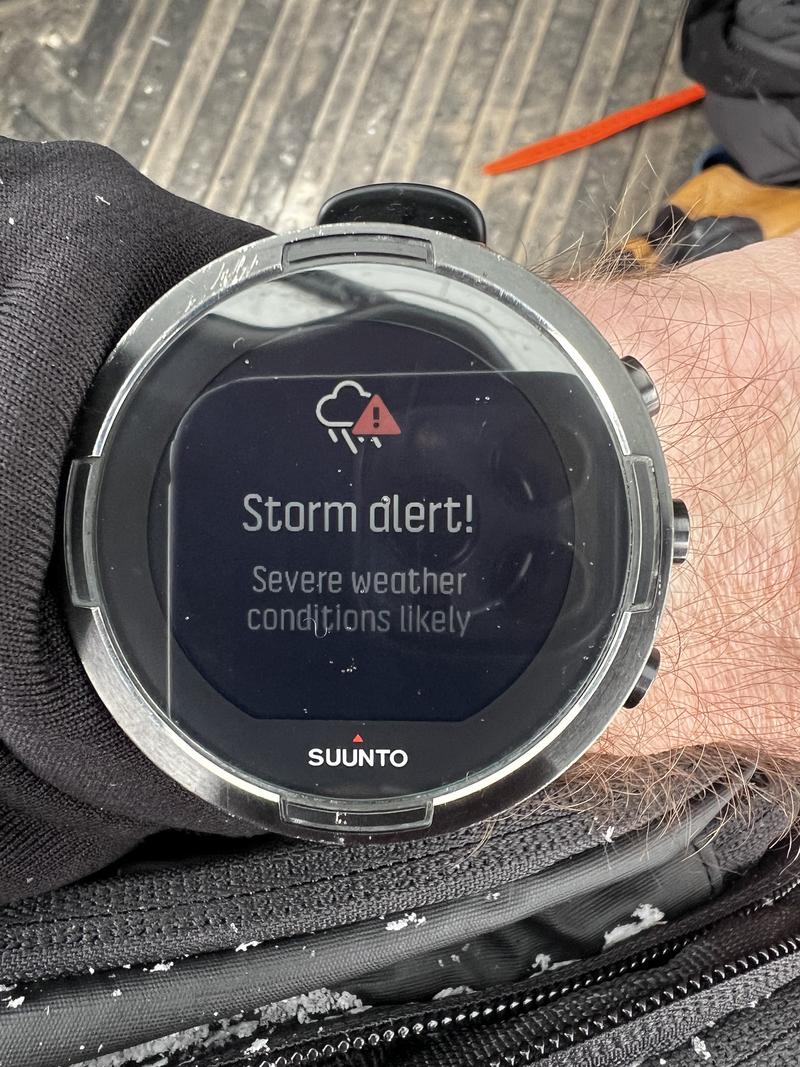
My watch has been showing this warning daily.
Today's Observed Danger Rating
Considerable
Tomorrows Estimated Danger Rating
High
Coordinates