

Observation Date
4/5/2023
Observer Name
Mike J
Region
Uintas » Hoyt Environs
Location Name or Route
Hoyt Area
Comments
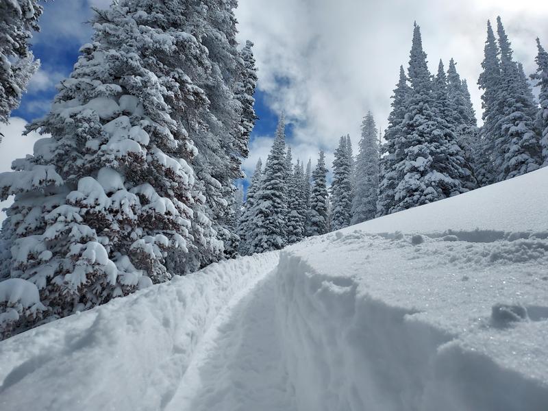
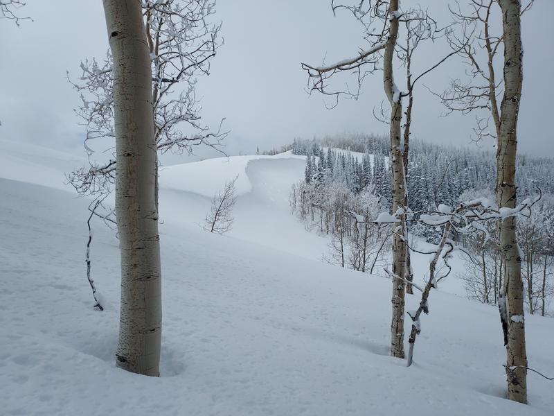
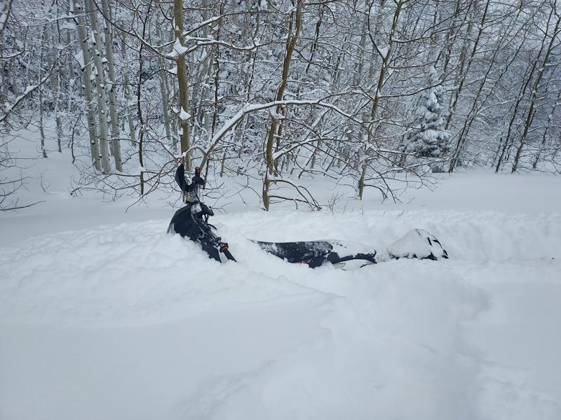
Wow what a storm. Down low there was a foot of new snow along with widespread drifts up to 3 feet deep overnight. A little higher up at mid-elevation, around 8.5K, there was upwards of 18 inches of blower light powder. I did not observer any collapses or shooting cracks although I wasn’t able to get up very high because of the new snow depth. As the day progressed the new snow started setting up and became quite a bit more supportive for riding. Had I waited a few hours I certainly could have gotten up much higher. Down low cornices are still growing. The light snow rode and skied excellent. No doubt we have an epic setup right now so long as we aren’t in the wind zone.
Today's Observed Danger Rating
Considerable
Tomorrows Estimated Danger Rating
Moderate