Forecast for the Moab Area Mountains

Eric Trenbeath
Issued by Eric Trenbeath for
Friday, April 12, 2024
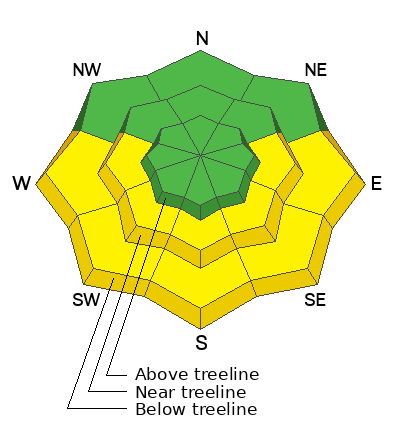
The avalanche danger is generally LOW. With daytime heating, the danger could rise to MODERATE for loose, wet, activity on sun exposed slopes. Signs of instability include rollerballs, pinwheels, and sloppy wet snow.
There are some slick, hard surfaces out there and slide for life conditions may exist. Consider carrying tools for self arrest if venturing into larger, steeper terrain.
Low
Moderate
Considerable
High
Extreme
Learn how to read the forecast here
Special Announcements
Road Conditions: The Geyser Pass road is melted out down to the dirt.
Grooming: Grooming is done for the season.
Announcement: Gear up for next season or snag deals to close out this season while supporting the UAC’s efforts. Your participation directly funds the state's avalanche forecasting, awareness, and education programs. Check out the auction found here!
Weather and Snow
6:00 a.m. Snow and Weather Data
24 Hour Snow 0" 72 Hour Snow 0" Season Total Snow 192" Depth at Gold Basin 55"
Winds on Pre-Laurel Peak: SSE 10-20 Temp 31° F Percent of Normal: 136%

Weather
Southerly winds picked up a bit early this morning and they're expected to increase throughout the day as high pressure moves on and gusty SW flow moves in. Skies should remain sunny today with high temps soaring into the high 40's and low 50's. Clouds develop tonight as a weak, shortwave trough brushes by. Sunny and breezy conditions return through the weekend with stormy weather on Monday.
General Conditions
It's a mixed bag of spring conditions out there with garden variety crusts and scoured or hard surfaces. Our man Dave Garcia has been hunting for corn on southerly aspects this week, and although he has reported some fun "almost corn" skiing, it's not quite there. Things should have frozen up enough last night that you can find some faux corn this morning, but with the wind, it may take a little longer to soften before it turns to slop. The window will be short. Clouds tonight will make for a marginal refreeze so today is probably your best chance.
Pro Tip: Good corn snow is all about a smooth surface, and it's a renewable resource! Don't ski or ride it too late. Deeply rutted turns in snow that is too soft ruin the slope. Get it when it's just right and then get off.
Conditions on Mount Tukuhnikivatz or Tuk (pronounced touque). Many folks this time of year set their sites on this iconic mountain. If you are set on going up, be prepared for challenging conditions including firm snow, breakable crusts, and possibly some isolated, shallow, stiff wind slabs. Ski crampons will be helpful on the skin up, and carrying a tool for self arrest is recommended.
Snowpack and Weather Data
Gold Basin Storm Stake (10,000')
Gold Basin SNOTEL site (10,000')
SNOTEL site near Geyser Pass Winter Trailhead (9600')
Wind Station on Pre-Laurel Peak (11,400')
NWS forecast for the La Sal Mountains.
Recent Avalanches
Click here to see the La Sal avalanche database.
Ad
Avalanche Problem #1
Wet Snow
Type
Location
Likelihood
Size
Description
Be on the lookout for a rising danger for loose, wet avalanche activity as the day heats up. If you're out hunting for corn, use the sun to your advantage by skiing or riding slopes with a SE aspect earliest, and then move around towards the S and then W. Plan to finish up by early afternoon. If you find that the snow is getting wet and sloppy under your feet, or if you notice signs of instability such as roller balls, pinwheels, or especially loose snow moving, it's time to wrap it up.
Additional Information
Want some more insight into the La Sal Mountains as well as the communal impacts of a tragic avalanche? Check out the latest UAC podcast with forecaster Eric Trenbeath where he discusses the range, it's often treacherous snowpack, and how the devastating avalanche in February, 1992, affected the Moab community.
Our avalanche beacon checker sign and beacon training park are up and running. A huge thanks to Talking Mountain Yurts for sponsoring those this season!
Sign up for forecast region-specific text message alerts. You will receive messages about changing avalanche conditions, watches, warnings and road plowing closures.
Follow us on Instagram @utavy_moab
General Announcements
This forecast is from the U.S.D.A. Forest Service, which is solely responsible for its content. This forecast describes general avalanche conditions and local variations always occur.