Lingering clouds and occasional light snow shower activity should remain over the mountains today with partial clearing by this afternoon. Mostly clear skies should prevail on Monday with an unsettled weather pattern in place for next week.
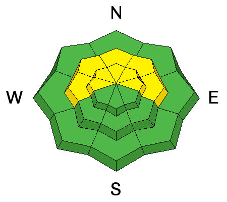
Today: Snow showers, mainly before 4pm. Areas of fog before 10am. High near 26. West wind around 10 mph, with gusts as high as 20 mph. Chance of precipitation is 80%. Total daytime snow accumulation of around an inch possible.
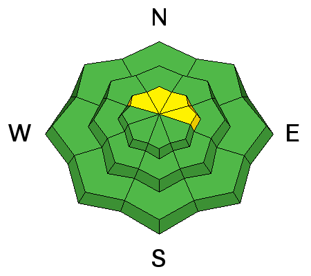
Tonight: Partly cloudy, with a low around 14. West northwest wind 5 to 15 mph.
Monday: Mostly sunny, with a high near 29. North wind around 5 mph becoming calm.
Monday Night: A 20 percent chance of snow after midnight. Mostly cloudy, with a low around 19. West southwest wind 5 to 15 mph becoming south in the evening.
Tuesday: A 30 percent chance of snow, mainly before noon. Mostly cloudy, with a high near 31. South wind around 15 mph.
Tuesday Night: A 20 percent chance of snow after midnight. Mostly cloudy, with a low around 19.
Wednesday: A 50 percent chance of snow. Cloudy, with a high near 27.
Wednesday Night: A chance of snow. Mostly cloudy, with a low around 15.
Thursday: A chance of snow. Cloudy, with a high near 26.
Thursday Night: A slight chance of snow. Mostly cloudy, with a low around 13.
Friday: Partly sunny, with a high near 27.