

Observer Name
Aaron Rice
Observation Date
Friday, February 28, 2014
Avalanche Date
Friday, February 28, 2014
Region
Salt Lake » Little Cottonwood Canyon » Flagstaff Ridge
Location Name or Route
Flagstaff
Elevation
9,700'
Aspect
Southeast
Slope Angle
Unknown
Trigger
Skier
Trigger: additional info
Intentionally Triggered
Avalanche Type
Soft Slab
Avalanche Problem
Wind Drifted Snow
Weak Layer
Density Change
Depth
12"
Width
100'
Vertical
300'
Comments
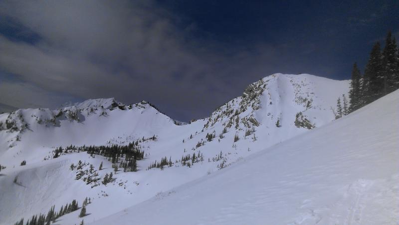
Morning started off sunny warm, and only slightly breezy. By noonish clouds rolled in and the wind started blowing moderate to strong out of the west. The wind was moving around lots of snow. We skied our first lap in two dogs. There was was an avalanche that ran from below a cornice and propagated about 75ft wide and 6-12inches deep and ran through some trees and almost to the bottom, approximately 500ft. It was on a NE aspect ~35degrees at the start zone. There were numerous other avalanches around that had been skier triggered. One in cardiff that ran around 9am and one in Toledo chute that ran around 1030am. I am assuming that both were intentionally triggered and hopefully the skier will post their own report. The Toledo Chute one was particularly impressive as both the main chute and the alternate chute lookers left both propagated wall to wall about 8-10 inches deep, it looked like from across the way.
Comments
The wind kept picking up and the snow was blowing hard. We headed down flagstaff, keeping to the ridge. We were getting lots of shooting cracks on the way down. About halfway down the ridge there is a cornice that is almost always there getting cross-loaded. And this specific area often runs. (see: http://utahavalanchecenter.org/avalanches/20524).
I pushed a small piece of the cornice off and it just slid 20 feet or so. So I jumped on the slab below the cornice doing a quick slope cut and skiing off the slab. The slope propagate ~100ft along the cornice and proceeded to run ~300ft down to just above the trees below. Looking at the bed surface there was a thin layer of grauple on top of about an inch of snow that had bonded well to the old hard melt freeze crust. Looking at the crown there are two distinct layer of snow. I am guessing the top is the new wind load from today and the bottom is the new snow from yesterday, though I was not able to take a closer look.
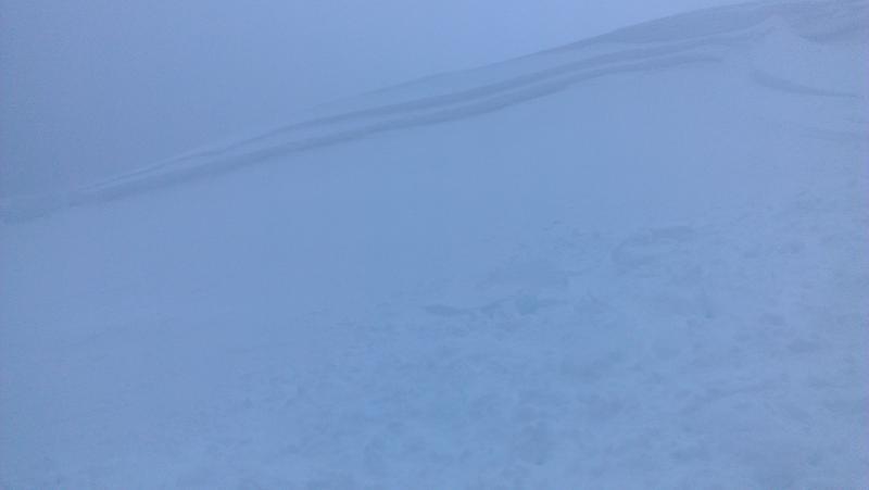
picture 1: crown with 2 distinct weak layers
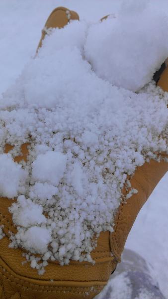
picture 2: grauple layer causing the heightened instability today
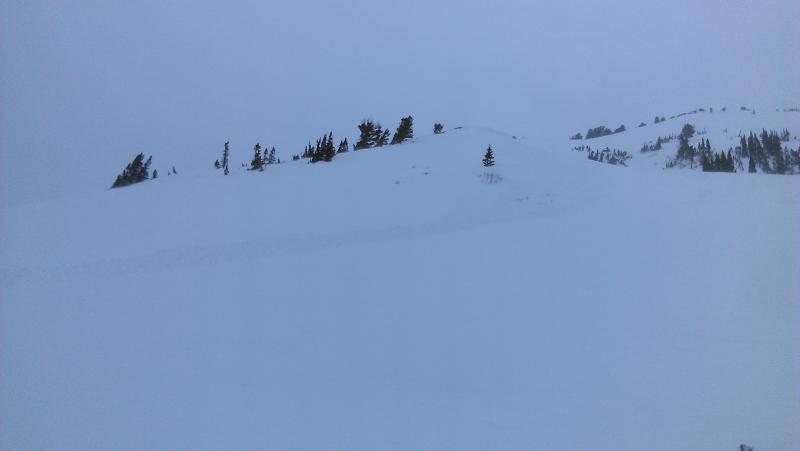
picture 3: poor picture of the avalanche from below (vis had gotten pretty bad)
Coordinates