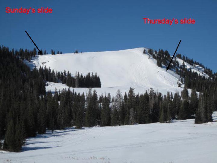
I spotted this slide while on the drive to work this morning. On Sunday there was a sled triggered slide just around the corner from this recent sled triggered slide. There are two tracks into the slide and my guess is the higher of the two is an uphill track and this one may have released the slide as they found a weak spot on the slope. This area would have been wind loaded from northwest winds and the slab was sitting above faceted snow.
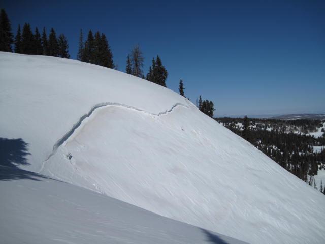
The slide failed on weak faceted snow higher in the snow pack and stepped down into older snow.
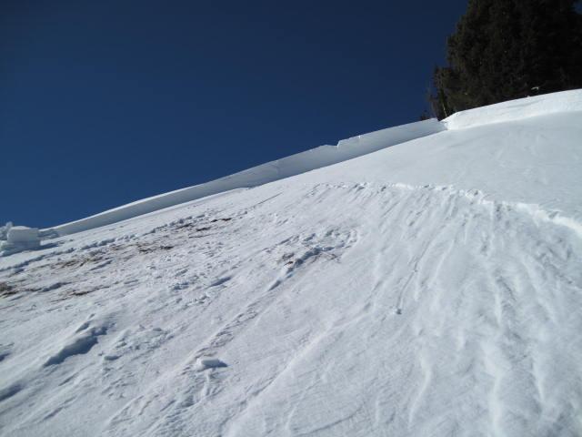
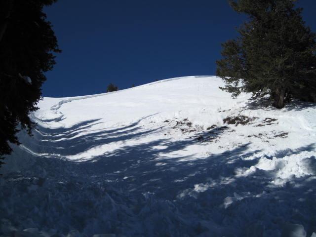
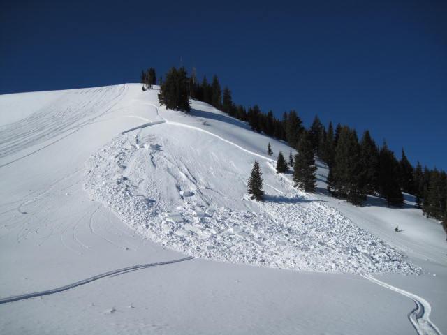
This slide was likely from last Sunday and not quite sure what the trigger is? There are sled tracks at the bottom of the slide, but I cannot tell how high on the slope the riders were since the debris is covering-up most everything. This area is a small, east facing, wind loaded slope and very steep with a nasty terrain trap at the bottom. I was not comfortable getting into this slide to look at it, since there was still a fair amount of hanging snow above.