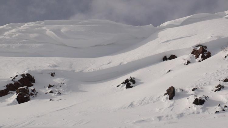
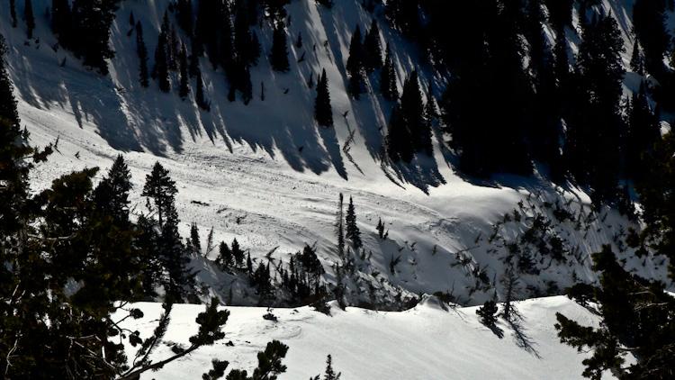
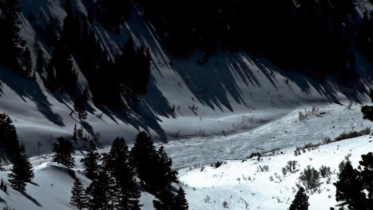
Large natural avalanche in Malans Basin on the backside of Mt. Ogden. Slide was first observed on Tuesday. It likely came down late Monday (3/7) or early Tuesday. It was likely triggered by a large natural cornice release.
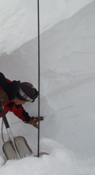
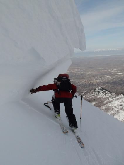
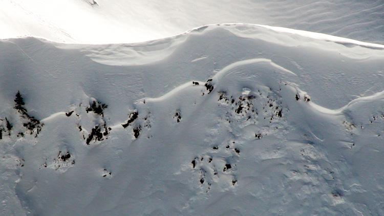
GR and I took a closer look at the slide today. Crown was 4-6' deep. The slide primarily failed on facets directly below the MLK crust. In some places, the crust was still present on the bed surface, and in other places, it appeared to have stepped down to the buried surface hoar layer, about 4 inches below the MLK crust.
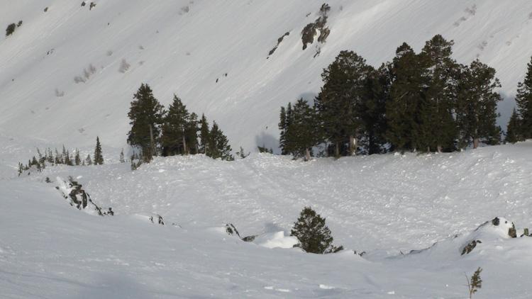
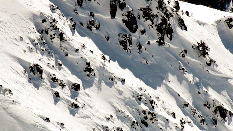
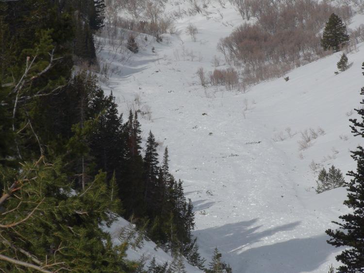
Aspects involved were NW, N and NE. Slope angle varied from 35 to 42+ degrees. Slide was easily over 1000' wide and ran 1500', deeply filling in the gully below. A fair amount of trees and vegetation was visible in runout. Large hard slab blocks were visible on the surface as well.
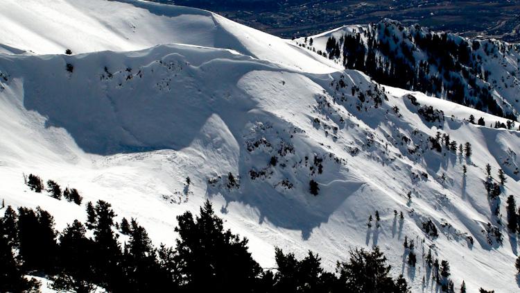
The slide ran over 1/2 mile in its track, taking out trees and filling in the gully below.
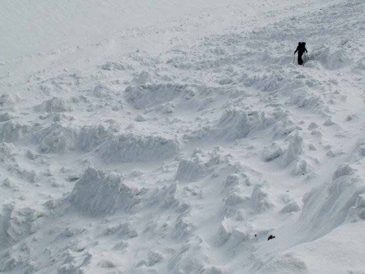
Photos of the crown. The entire crown had creeped considerably since the avalanche event. The upper 2 feet of the snowpack seemed to creep faster than the snow below, and was overhanging the lower crown by over a foot in places.