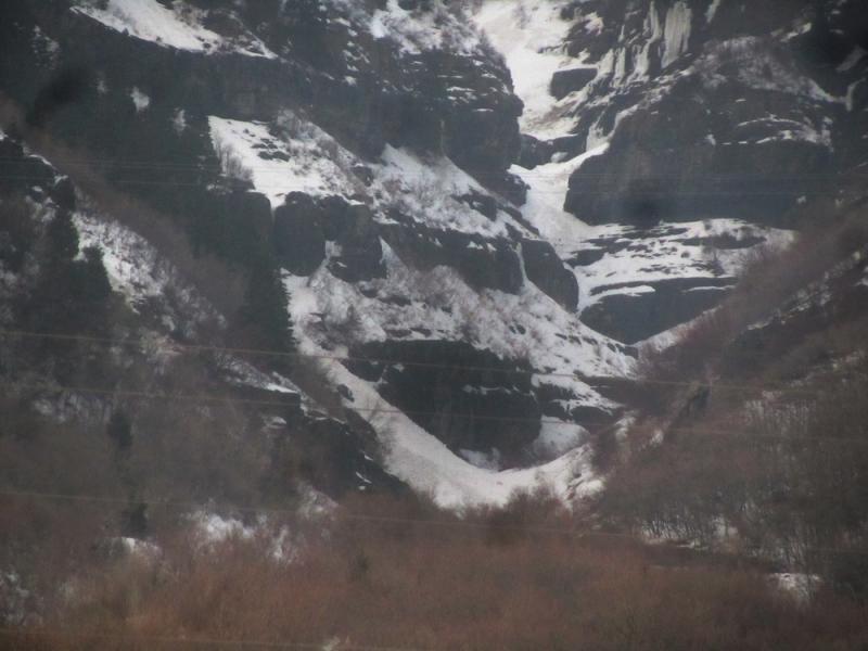
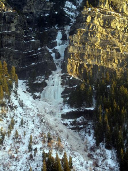
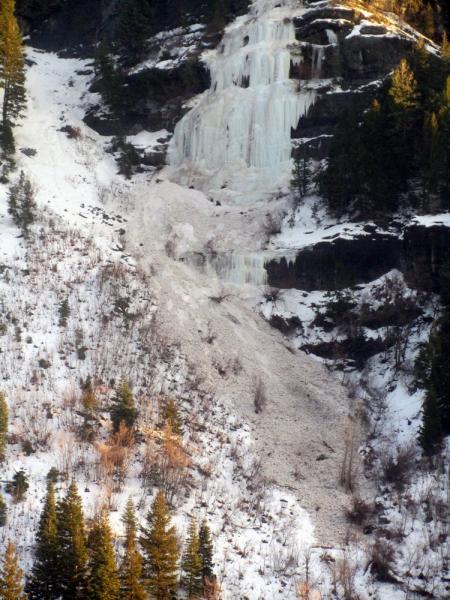
More WL slides today at low elevations. With no refreeze down low and rising daytime temps came another round of slides in the saturated facets found on shady aspects. The Fang released sometime before noon. Below pics - overview, starting zone, debris.
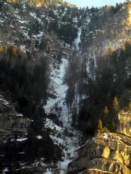
Same theme as yesterday as far as avalanche type just without any new precip. The warm temps continued to trigger steep slopes above the road on SR92 and elsewhere causing a few more closures. This pic below is from low in the Lost Creek drainage. Confined gullies are to be avoided.
Late in the day I heard of an incident in Rock Canyon involving both an avalanche and rockfall. Details are limited but apparently some hikers heard the sound of and avalanche and called 911 to report it. Provo city dispatched a local SAR team and they found debris and rocks on the valley floor. Without tracks entering or leaving the debris, they determined no one was involved and there were also no reports of missing persons.