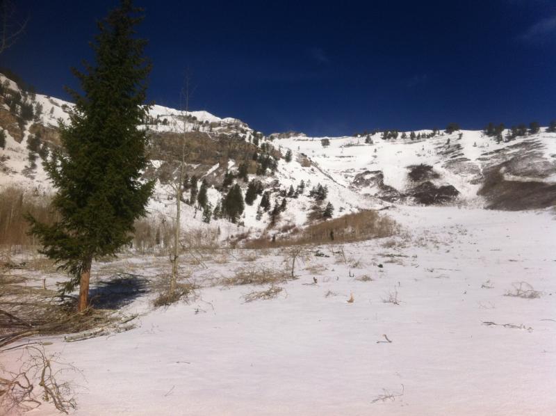
The east facing portion of the East Ridge of Cascade that lies above the Big Springs / Shingle Mill split appeared to have come out HUGE sometime during the last round of high temps. The aspen groves in the run out above the creek are gone with damage running about 1000 feet wide and debris including green evergreens and aspens in the drainage running about 1500 feet below the estimated starting zone. The debris flow appeared to have run up the Shingle Mill side of the drainage about 60 vert feet and then sloshed back up the Big Springs side about the same a little lower down.
Apologies for the bad photography. I would blame my cell phone camera, but the truth is that it was hard to get a true picture of how big this must have been. Pic taken from bottom of main run out, above the creek and gully, looking up to estimated starting zone. Denuded area extended to the right out of the frame.
Forecaster note: Based on Joey Dempster's observation the following day, he believed this was actually an old avalanche from February. I adjusted the occurrence date to sometime in February--just randomly picked a number--because our database requires an occurrence date. See Dempster's avalanche observation from 4/24/2014.