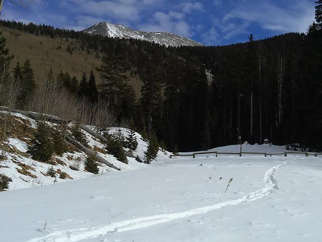
A weakening Pacific storm system will affect our area beginning late on Tuesday and extending into Thursday. Mild temperatures will keep snow levels high and the mountains may see 2"- 4" through the period. Skies should be clear on Friday with another weak shot at some snow over the weekend.
Tuesday: A 20 percent chance of snow after 4pm. Partly sunny, with a high near 40. West southwest wind around 10 mph.
Tuesday Night: Snow likely, mainly after 1am. Cloudy, with a low around 26. Southwest wind 5 to 10 mph. Chance of precipitation is 60%. New snow accumulation of 1 to 3 inches possible.
Wednesday: A 50 percent chance of snow. Mostly cloudy, with a high near 38. South southwest wind 10 to 15 mph. New snow accumulation of around an inch possible.
Wednesday Night: A 40 percent chance of snow. Mostly cloudy, with a low around 26. Southwest wind 10 to 15 mph.
Thursday: A 30 percent chance of snow. Partly sunny, with a high near 38.
Thursday Night: Mostly cloudy, with a low around 26.
Friday: Mostly sunny, with a high near 35.
Friday Night: Mostly cloudy, with a low around 25.
Saturday: A chance of snow. Mostly cloudy, with a high near 34.
Saturday Night: A chance of snow. Mostly cloudy, with a low around 23.
Sunday: Partly sunny, with a high near 35.
Sunday Night: Partly cloudy, with a low around 23.
Monday: Mostly sunny, with a high near 34.