This morning at the 8400' Tony Grove Snotel, it's 32 degrees and there's an inch of new snow, and 36 inches of total snow containing 136% of average water for the date. The 9700' CSI Logan Peak weather station is recording south winds, currently averaging a bit less than 20 mph.
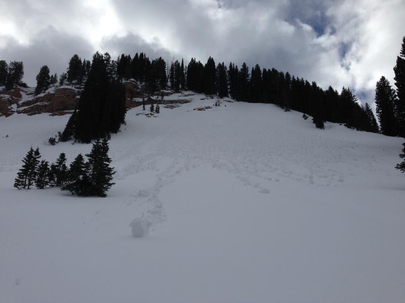
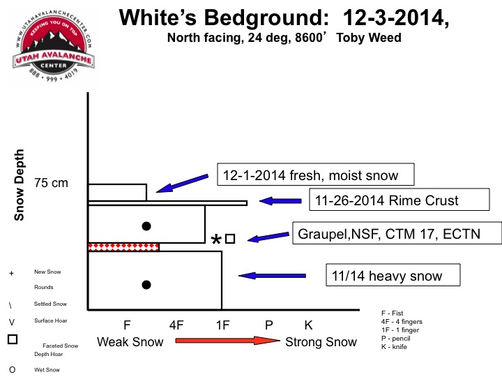
The coverage is quite good above around 8000', with the heavy snows from November nicely filling in the rocky terrain. You can ride just about anywhere without sinking in too deeply and you can see the larger protruding rocks, but I found ascending on skis difficult in places because of a slippery rime-crust beneath a few inches of mashed potato-like snow. The snow got pretty moist even at upper elevations yesterday, and we observed both natural and triggered surface sluffs and extensive roller balling in steep terrain. ***Here's my Video Observation from the White's Bedground Area on Wednesday.
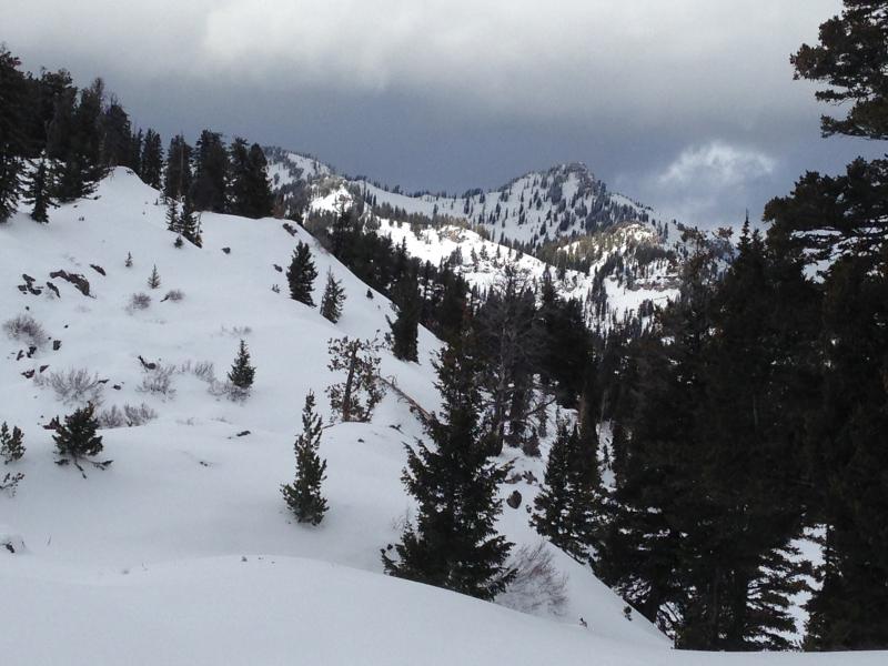
Very good coverage for early December in the Bear River Range. Mt. Magog from the South. (12-5-2014)
Be sure your rescue gear is functioning by practicing with it, and force your partners to join in. It is they who will be your best bet for survival if you get caught in an avalanche. The Tony Grove road is not maintained for wheeled travel in the winter!
No recent avalanches to report in the Logan Zone.... Visit our Backcountry Observations Page for details