Forecast for the Logan Area Mountains

Toby Weed
Issued by Toby Weed for
Monday, December 1, 2014

There's a MODERATE (level 2) danger on some drifted upper elevation slopes in the backcountry. You could trigger fresh wind slabs in areas that picked up 6 or more inches of fresh snow yesterday and overnight. Heightened avalanche conditions also exist on isolated slopes at upper elevation with poor snow structure. There's a LOW (level 1) danger and the snow is stable on most other slopes in the Logan Zone. Evaluate the snow and terrain carefully, continue to use safe travel protocols, and practice regularly with your rescue equipment.
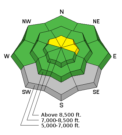
Low
Moderate
Considerable
High
Extreme
Learn how to read the forecast here
Special Announcements

We look forward to seeing you at our annual fundraiser party at the Italian Place in Logan on Wednesday evening, December 3... We very much need and value your support.

Weather and Snow

With a couple inches of new snow this morning at the 8400' Tony Grove Snotel, it's 28 degrees and there's 36 inches of total snow containing 148% of average water for the date. The 9700' CSI Logan Peak weather station is recording southwesterly winds averaging in the mid teens. We're seeing fairly good stability locally. Looks like some shallow powder or dust-on-crust conditions, with a bit more new snow in the Southern Bear River Range.

Be sure your rescue gear is functioning by practicing with it, and force your partners to join in. It is they who will be your best bet for survival if you get caught in an avalanche. The Tony Grove road is not maintained for wheeled travel in the winter!

Recent Avalanches

No avalanches were recently reported in the Logan Zone, but it's still dangerous on upper elevation north through east facing slopes in the Central Wasatch Range.

Visit our Backcountry Observations Page for details


Ad
Avalanche Problem #1
Persistent Weak Layer
Type
Location
Likelihood
Size
Description

Triggered wind slab avalanches are possible in exposed upper elevation terrain. Avoid recent deposits of drifted snow on the lee side of major ridges and areas where snow has been deposited into gullies or below cliff bands by the recent strong winds. Heightened wind slab conditions exist in areas that received a bit more snowfall and the fresh snow was drifted onto steep slopes. There also may be very steep isolated slopes on the highest peaks where one could trigger a deeper persistent slab avalanche. Slopes with snow cover in early November are certainly suspect, but we've also found weak sugary snow from the surface on around 11/20 (between first and second storm), with the slab from just before Thanksgiving propagating in tests.

Additional Information

Expect mostly cloudy skies and a 40% chance of snow, with high temperatures at 8500' around 32 degrees and a moderate southwest wind. It'll be mostly cloudy again tonight, with west winds and a low of around 26 degrees. Another round of light snow will develop late Tuesday and Wednesday.

Check out our one-stop weather page........HERE

General Announcements

Don't forget our annual fundraiser party at the Italian Place in Logan on Wednesday evening, December 3...

Backcountry 101 Avalanche Class coming up! Register now for our first on-snow class of the season. Thursday evening December 11 and all day Saturday December 13. The season is upon us and the time is now to learn how to stay safe in the backcountry. http://utahavalanchecenter.org/classes/backcountry-101-4

NEW THIS YEAR: You can now receive advisories by email for each region in the state. Go here for details.

Utah Avalanche Center mobile app - Get your advisory on your iPhone along with great navigation and rescue tools. Follow us at UAClogan on Twitter

Remember your information can save lives. If you see anything we should know about, please participate in the creation of our own community avalanche advisory by submitting snow and avalanche conditions. You can also call us at 801-524-5304 or 800-662-4140, email by clicking HERE, or include #utavy in your Instagram.

To report avalanche activity in the Logan Area or to contact the local avalanche forecaster call me, Toby at 435-757-7578. I'll regularly update this advisory on Monday, Wednesday, Friday, and Saturday mornings by about 7:30....

This advisory is produced by the U.S.D.A. Forest Service, which is solely responsible for its content. It describes only general avalanche conditions and local variations always exist.